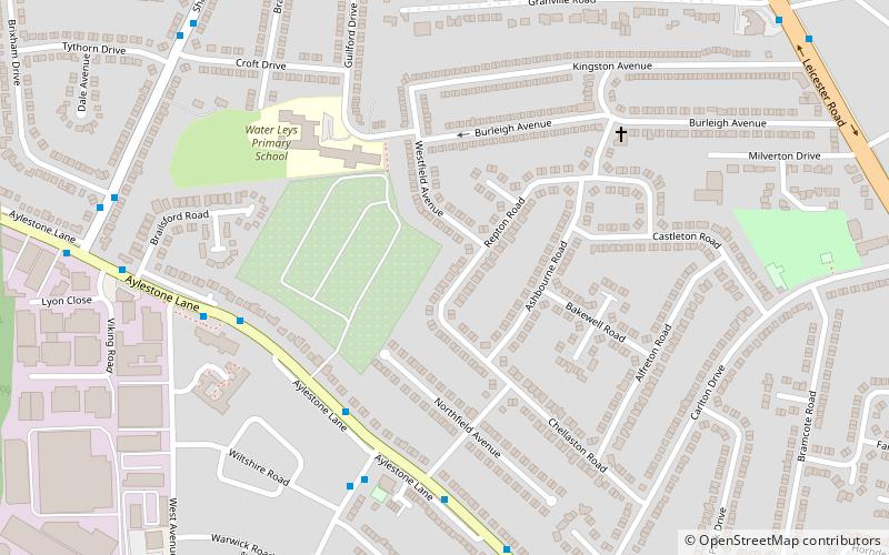
Wigston Fields, Leicester
Map
Facts and practical information
Wigston Fields is a district of the borough of Oadby and Wigston in Leicestershire, England. It lies between Leicester and the town of Wigston on the A5199 road. The population is included in the Wigston St. Wolstan's ward of the borough council. ()
Coordinates: 52°35'31"N, 1°7'1"W
Address
Leicester
ContactAdd
Social media
Add
Getting there by public transportation
Public transportation stops near this location
- Train
 Train
Train
- Calculate routeSouth Wigston 25 min walk
Day trips


Frequently Asked Questions (FAQ)
Which popular attractions are close to Wigston Fields?
Nearby attractions include Wigston, Leicester (16 min walk), Wigston framework knitters museum, Leicester (18 min walk), Knighton Spinney, Leicester (21 min walk).
How to get to Wigston Fields by public transport?
The nearest stations to Wigston Fields:
Train
Train
- South Wigston (25 min walk)