Mynydd Llangeinwyr

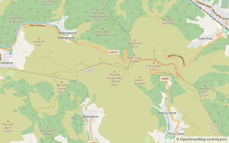
Map
Facts and practical information
Mynydd Llangeinwyr is the highest hill in the county borough of Bridgend in the coalfield of South Wales. It forms a long north-south ridge between the valleys of Cwm Garw to the west and Cwm Ogwr Fawr to the east. The highest point of the ridge is the 568-metre flat dome known as Werfa which is crowned by a trig point and prominent masts. A secondary trig point is sited at a height of 530 m near to the ancient cairn of Carn-yr-hyrddod. The hill is named from the village of Llangeinor below its southern tip. ()
Elevation: 1864 ftProminence: 295 ftCoordinates: 51°38'29"N, 3°34'23"W
Location
Wales
ContactAdd
Social media
Add
Day trips
Mynydd Llangeinwyr – popular in the area (distance from the attraction)
Nearby attractions include: Melincourt Falls, Maesteg Town Hall, Maesteg Golf Club, Aberdare Park.


