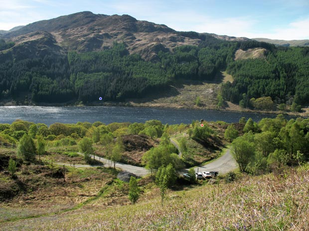
Galloway Hills, Silver Flowe-Merrick Kells
Map
Gallery
Facts and practical information
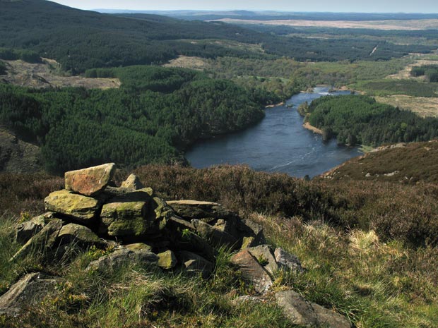
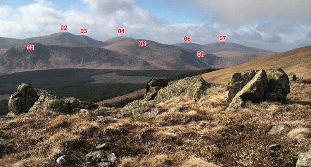
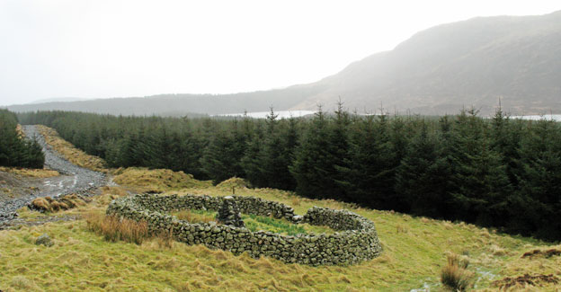
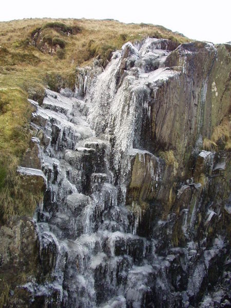
The Galloway Hills are part of the Southern Uplands of Scotland, and form the northern boundary of western Galloway. They lie within the bounds of the Galloway Forest Park, an area of some 300 square miles of largely uninhabited wild land, managed by Forestry and Land Scotland. The unusual place names reflect a mixture of the Old Norse and Scottish Gaelic languages and hint at the range of influences which have acted on society within the area over the centuries. ()
Area: 115.83 mi²Coordinates: 55°7'12"N, 4°24'36"W
Address
Silver Flowe-Merrick Kells
ContactAdd
Social media
Add
Day trips
Galloway Hills – popular in the area (distance from the attraction)
Nearby attractions include: Loch Enoch, Craignaw, Loch Neldricken, Galloway Forest Park.
Frequently Asked Questions (FAQ)
Which popular attractions are close to Galloway Hills?
Nearby attractions include Craignaw, Silver Flowe-Merrick Kells (9 min walk), Galloway Forest Park, Silver Flowe-Merrick Kells (16 min walk).


