Knowle Parish Church, Solihull

Gallery (1)
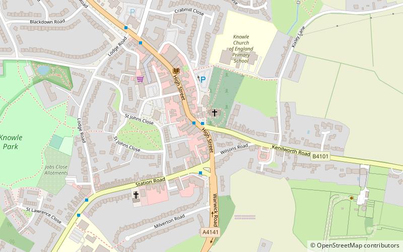
Map
Map
Facts and practical information
Knowle Parish Church is a Grade I listed parish church in the Church of England in Knowle, West Midlands. ()
Coordinates: 52°23'17"N, 1°44'2"W
Getting there by public transportation
Public transportation stops near this location
- Bus
- Train
 Bus
Bus
- Calculate routeHigh St / Knowle Green Church 1 min walk
- Calculate routeWarwick Road / Lodge Rd 6 min walk
- Calculate routeKenilworth Rd / Golden End Drive 12 min walk
- Calculate routeDorridge 35 min walk
Day trips


Frequently Asked Questions (FAQ)
How to get to Knowle Parish Church by public transport?
The nearest stations to Knowle Parish Church:
Bus
Train
Bus
- High St / Knowle Green Church • Lines: 87, 87A (1 min walk)
- Warwick Road / Lodge Rd • Lines: 87, 87A (6 min walk)
Train
- Dorridge (35 min walk)