Heart of England Way
Map

Map

Facts and practical information
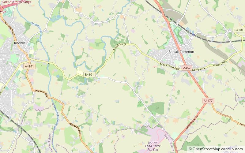
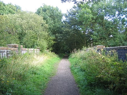
The Heart of England Way is a long-distance walk of around 160 km through the Midlands of England. The walk starts from Milford Common on Cannock Chase and ends at Bourton on the Water in the Cotswolds linking south Staffordshire through Warwickshire to east Gloucestershire. ()
Length: 99.42 miCoordinates: 52°22'54"N, 1°40'53"W
Location
England
ContactAdd
Social media
Add
Day trips
Heart of England Way – popular in the area (distance from the attraction)
Nearby attractions include: Packwood House, Baddesley Clinton, Touchwood, Cyclists War Memorial.


