Sussex Ouse Valley Way, Newhaven
Map

Map

Facts and practical information
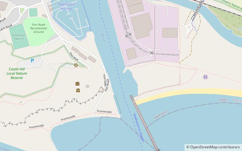
The Sussex Ouse Valley Way is a 42–mile long-distance footpath which closely follows the route of the Sussex Ouse. It starts at the Ouse's source in Lower Beeding, West Sussex, when it's still a little stream. It then passes through many villages and towns including Slaugham, Handcross, Staplefield, and Lewes. It terminates at Seaford on the English Channel, where it joins the Vanguard Way. ()
Coordinates: 50°47'1"N, 0°3'26"E
Address
Newhaven
ContactAdd
Social media
Add
Day trips
Sussex Ouse Valley Way – popular in the area (distance from the attraction)
Nearby attractions include: Seaford Head Golf Course, Newhaven Fort, Saltdean Lido, Seaford Museum.
Frequently Asked Questions (FAQ)
Which popular attractions are close to Sussex Ouse Valley Way?
Nearby attractions include Newhaven Fort, Newhaven (4 min walk), Port of Newhaven, Newhaven (12 min walk), Chailey Heritage Marine Hospital, South Downs National Park (15 min walk).


