Friston Forest, Cuckmere Haven
Map

Map

Facts and practical information
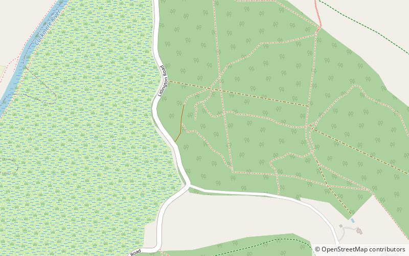
Friston Forest is a forest, located between Seaford and Eastbourne in East Sussex. It is part of the South Downs National Park area. The forest is managed by Forestry England and covers an area of 2.79 square kilometres, or 278.73 ha. ()
Coordinates: 50°46'53"N, 0°9'11"E
Day trips
Friston Forest – popular in the area (distance from the attraction)
Nearby attractions include: Seaford Head Golf Course, Seaford Museum, Long Man of Wilmington, Lullington Church.
Frequently Asked Questions (FAQ)
How to get to Friston Forest by public transport?
The nearest stations to Friston Forest:
Bus
Bus
- Seven Sisters Park Centre • Lines: 12, 12A, 12X, 13X (11 min walk)
- Cuckmere Inn • Lines: 12, 12A, 12X, 13X (16 min walk)


