North Cheshire Way
Map

Map

Facts and practical information
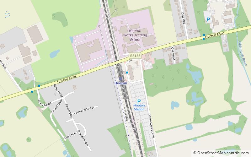
The North Cheshire Way is a 71-mile long-distance footpath in Cheshire, England. It runs approximately eastwards from Hooton railway station on the Wirral peninsula to Disley railway station on the edge of the Peak District, where it connects with the Gritstone Trail. There is a 6-mile spur from Chester to Croughton. ()
Length: 71 miMaximum elevation: 853 ftCoordinates: 53°17'49"N, 2°58'37"W
Location
England
ContactAdd
Social media
Add
Day trips
North Cheshire Way – popular in the area (distance from the attraction)
Nearby attractions include: National Waterways Museum, Ness Botanic Gardens, Eastham Country Park, St Mary's Church.


