Felling, Newcastle upon Tyne
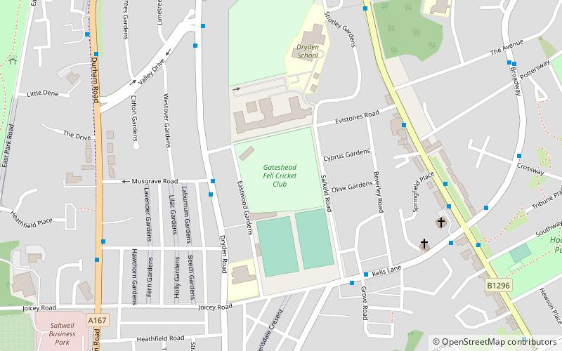
Map
Gallery
Facts and practical information
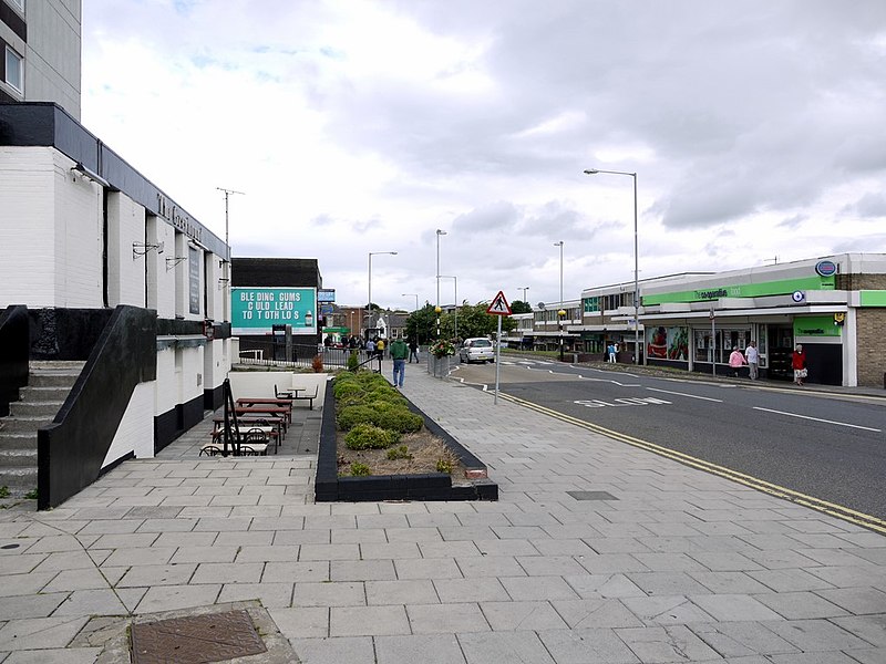
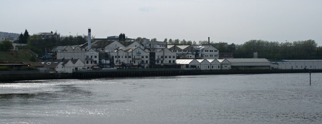
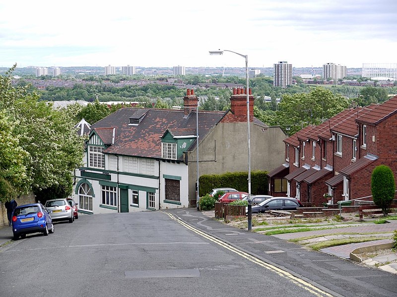
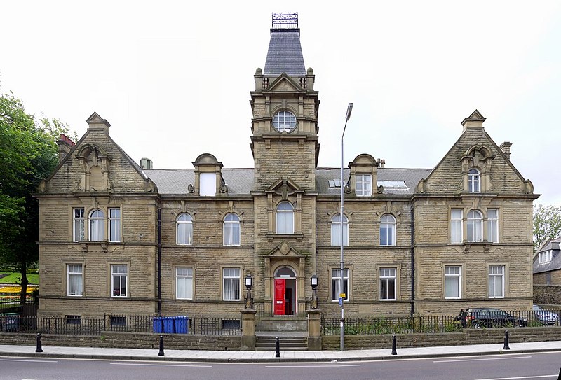
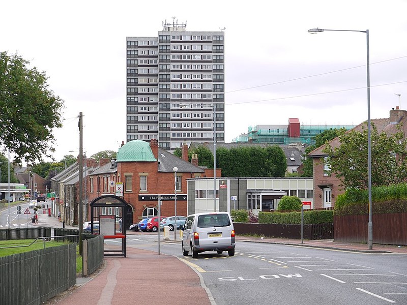
Felling is an eastern suburb of Gateshead, Tyne and Wear, England. The town was formed when three villages coalesced in the 19th century. Historically part of County Durham, the town was subsumed into the metropolitan borough of Gateshead in 1974. It lies on the B1426 Sunderland Road and the A184 Felling bypass, less than 1 mile east of Gateshead town centre, 1 mile south east of Newcastle-upon-Tyne and 10 miles north west of the City of Sunderland. In 2011, Felling had a population of 8,908. ()
Address
Newcastle upon Tyne
ContactAdd
Social media
Add
Day trips
Felling – popular in the area (distance from the attraction)
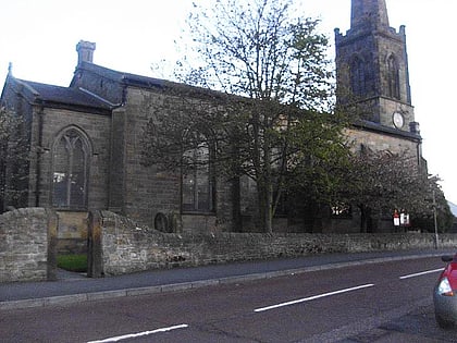
Nearby attractions include: Gateshead International Stadium, St John's Church, Dynamix skate park, Deckham Bargain Store.
Frequently Asked Questions (FAQ)
How to get to Felling by public transport?
The nearest stations to Felling:
Train
Light rail
Bus
Train
- Heworth (8 min walk)
Light rail
- Heworth • Lines: Green, Yellow (9 min walk)
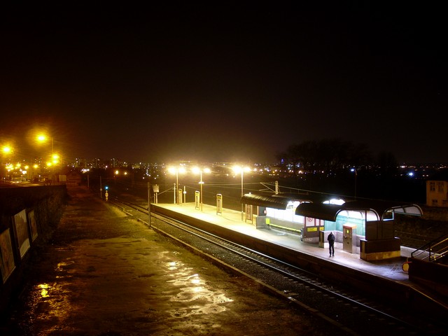
- Felling • Lines: Green, Yellow (10 min walk)
Bus
- Heworth bus station (9 min walk)
- Heworth Interchange • Lines: Ms, X9 (10 min walk)


