Eastwood Gardens, Newcastle upon Tyne
Map
Facts and practical information
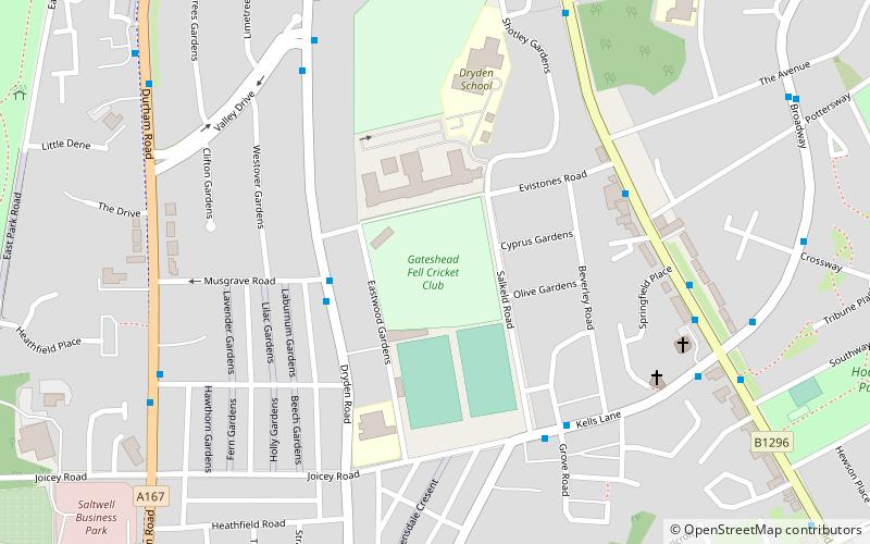
Eastwood Gardens is a cricket ground in Gateshead, England which, like Feethams Cricket Ground, Grangefield Road, The Racecourse, Park Drive and Ropery Lane, was used by the Durham 1st XI between 1992 and 1994 prior to The Riverside Ground being built, since which it has not seen any 1st XI action. In 1992, the ground hosted two County Championship matches and one Sunday match, while in 1993 and 1994 the ground hosted one match in each of those two competitions. ()
Coordinates: 54°56'32"N, 1°35'38"W
Address
Newcastle upon Tyne
ContactAdd
Social media
Add
Getting there by public transportation
Public transportation stops near this location
- Bus
- Light rail
 Bus
Bus
- Calculate routeLow Fell 12 min walk
- Calculate routeSaltwell Road South-Crematorium-N/B 14 min walk
- Calculate routeGateshead Stadium 28 min walk
- Calculate routeFelling 30 min walk
Day trips


Frequently Asked Questions (FAQ)
Which popular attractions are close to Eastwood Gardens?
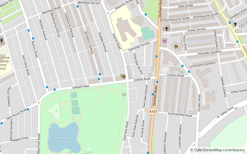
Nearby attractions include Carr Hill, Newcastle upon Tyne (5 min walk), St John's Church, Newcastle upon Tyne (6 min walk), Sheriff Hill, Newcastle upon Tyne (10 min walk), Saltwell Park, Newcastle upon Tyne (12 min walk).
How to get to Eastwood Gardens by public transport?
The nearest stations to Eastwood Gardens:
Bus
Light rail
Bus
- Low Fell • Lines: 29 (12 min walk)
- Saltwell Road South-Crematorium-N/B • Lines: 29 (14 min walk)
Light rail
- Gateshead Stadium • Lines: Green, Yellow (28 min walk)
- Felling • Lines: Green, Yellow (30 min walk)