Forest of Leeds, Leeds
Map

Map

Facts and practical information
The Forest of Leeds was originally the Forest of Loidis in which today's city of Leeds arose. It now refers to patches of woodland throughout the metropolitan district, managed by Leeds City Council amounting to 1200 hectares. These are in 55 units of various kinds of woodlands, including those of Belle Isle, Gledhow, Golden Acre Park, Lotherton Hall, Meanwood Valley, Middleton Park, Moortown, Roundhay Park, Temple Newsam and Woodhouse Ridge, formed as a forest in 1993. ()
Coordinates: 53°47'60"N, 1°32'56"W
Address
City and Holbeck (Leeds City Centre)Leeds
ContactAdd
Social media
Add
Day trips
Forest of Leeds – popular in the area (distance from the attraction)
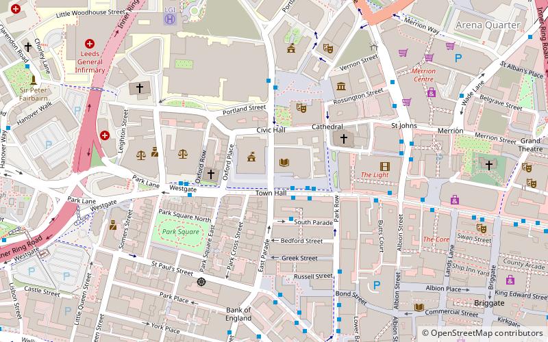
Nearby attractions include: Merrion Centre, The Light, The Headrow, St John's Centre.
Frequently Asked Questions (FAQ)
Which popular attractions are close to Forest of Leeds?
Nearby attractions include Leeds Central Library, Leeds (1 min walk), Leeds Art Gallery, Leeds (1 min walk), Leeds Town Hall, Leeds (1 min walk), Leeds War Memorial, Leeds (2 min walk).
How to get to Forest of Leeds by public transport?
The nearest stations to Forest of Leeds:
Bus
Train
Ferry
Bus
- Civic M • Lines: 14, 15 (1 min walk)
- Civic L • Lines: 33, 34 (2 min walk)
Train
- Leeds (10 min walk)
- Burley Park (37 min walk)
Ferry
- Leeds Water Taxi Dock • Lines: Leeds Dock Water Taxi (23 min walk)


