Fort Albert, Isle of Wight
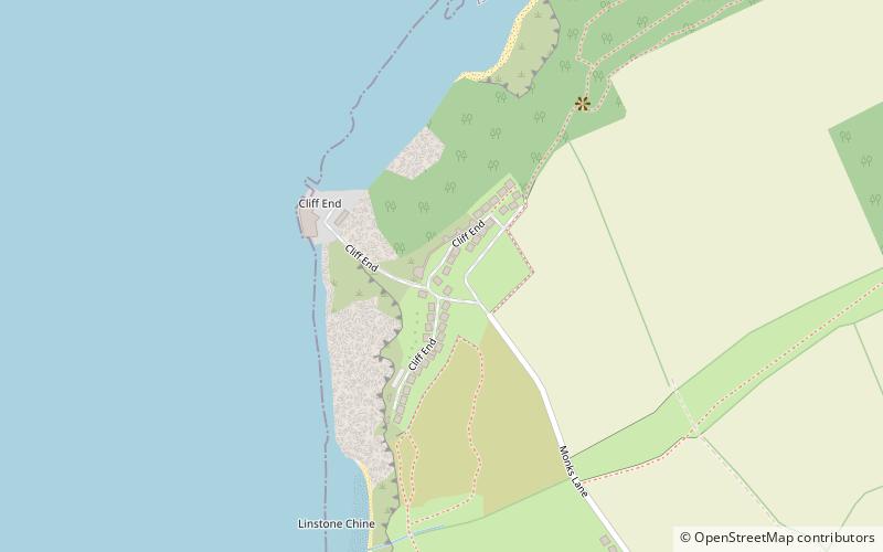
Map

Gallery

Facts and practical information
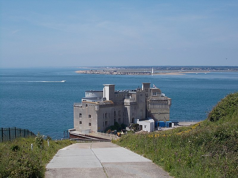
Fort Albert is a tower fort nestling under the cliffs south-west of Fort Victoria on the Isle of Wight, England. It was also known as Cliff End Fort, named after the Northern extremity of Colwell Bay. ()
Built: 1856 (170 years ago)Coordinates: 50°41'59"N, 1°31'55"W
Address
Isle of Wight
ContactAdd
Social media
Add
Day trips
Fort Albert – popular in the area (distance from the attraction)
Nearby attractions include: Hurst Castle, West Wight Sports Centre, Hurst Point Lighthouse, Yarmouth Harbour.
Frequently Asked Questions (FAQ)
Which popular attractions are close to Fort Albert?
Nearby attractions include Cliff End Battery, Isle of Wight (4 min walk), Fort Victoria, Isle of Wight (18 min walk), Island Planetarium, Yarmouth (18 min walk), Sunken Secrets, Freshwater (18 min walk).
How to get to Fort Albert by public transport?
The nearest stations to Fort Albert:
Bus
Bus
- Pixley Hill • Lines: 7 via Shalfleet, 7 via Wellow (17 min walk)
- Brambles Corner • Lines: 7 via Shalfleet, 7 via Wellow (17 min walk)


