Fort Bridgewoods, Gillingham

Map
Facts and practical information
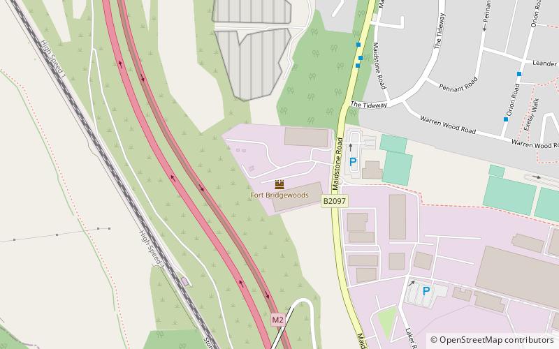
The site of Fort Bridgewoods is on the outskirts of Rochester, Medway in the United Kingdom, next to the Rochester-Maidstone road. The site was acquired by the War Office in about 1860 to form part of a ring of forts protecting the Royal Dockyard at Chatham. ()
Coordinates: 51°21'33"N, 0°29'42"E
Address
Rochester WestGillingham
ContactAdd
Social media
Add
Day trips
Fort Bridgewoods – popular in the area (distance from the attraction)
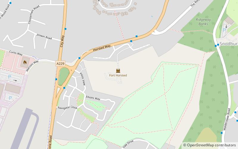
Nearby attractions include: Baty's Marsh, Fort Horsted, Medway Viaducts, Fort Borstal.
Frequently Asked Questions (FAQ)
Which popular attractions are close to Fort Bridgewoods?
Nearby attractions include Nashenden Down, Chatham (15 min walk), Fort Horsted, Gillingham (21 min walk), Fort Borstal, Gillingham (21 min walk).


