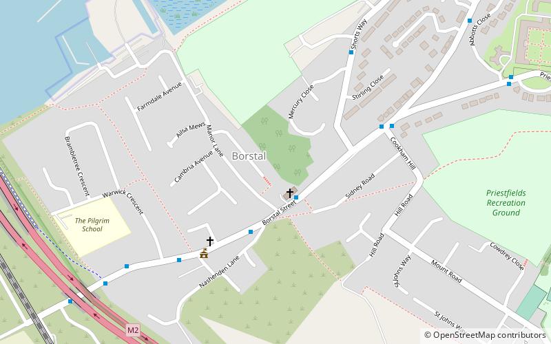
Borstal, Strood
Map

Map

Facts and practical information
Borstal is a place in the Medway unitary authority of Kent in South East England. Originally a village near Rochester, it has become absorbed by the expansion of Rochester. The youth prison at Borstal gave its name to the Borstal reform school system. ()
Coordinates: 51°22'27"N, 0°29'11"E
Address
Rochester WestStrood
ContactAdd
Social media
Add
Day trips
Borstal – popular in the area (distance from the attraction)
Nearby attractions include: Rochester Cathedral, Rochester Castle, Diggerland, St Nicholas Church.
Frequently Asked Questions (FAQ)
Which popular attractions are close to Borstal?
Nearby attractions include Borstal Village Hall, Gillingham (4 min walk), Baty's Marsh, Strood (6 min walk), Fort Borstal, Gillingham (8 min walk), Nashenden Down, Chatham (18 min walk).
How to get to Borstal by public transport?
The nearest stations to Borstal:
Train
Bus
Train
- Cuxton (27 min walk)
- Rochester (36 min walk)
Bus
- Star Hill • Lines: 190, 700 (31 min walk)
- Jacksons Fields • Lines: 190, 700 (31 min walk)


