Nidd Gorge

Gallery (2)
Map
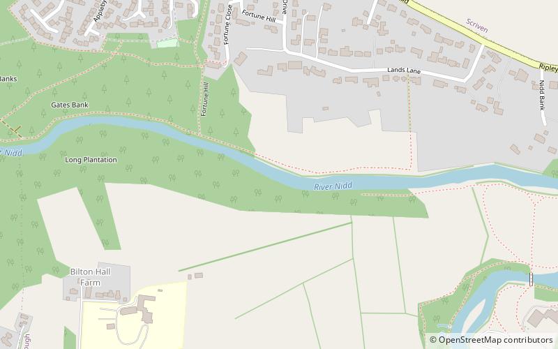
Map
Gallery
Facts and practical information
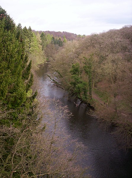
Nidd Gorge makes up a section of the River Nidd in North Yorkshire, England, in which the river enters a deep ravine with sheer, tree covered valley sides. The river as a whole flows from its source near Great Whernside in Nidderdale, to its confluence with the River Ouse near Nun Monkton. Nidd Gorge makes up approximately 3 miles of the entire length of the river, and stretches from the now defunct Nidd viaduct at Bilton in Harrogate to Grimbald Bridge, just south of Knaresborough. ()
Coordinates: 54°0'50"N, 1°29'13"W
Location
England
ContactAdd
Social media
Add
Day trips


