Fosse Way, Exeter
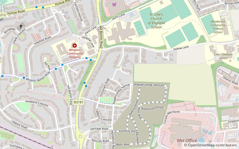
Map
Gallery
Facts and practical information
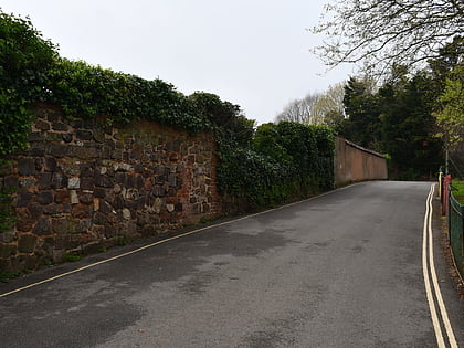
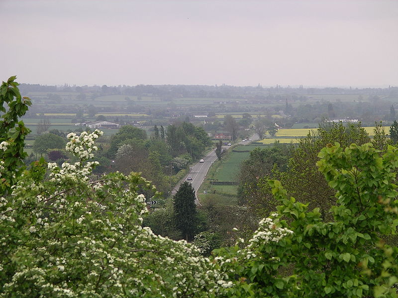
The Fosse Way was a Roman road built in Britain during the first and second centuries AD that linked Exeter in the southwest and Lincoln to the northeast, via Ilchester, Bath, Cirencester and Leicester. ()
Address
Whipton & BartonExeter
ContactAdd
Social media
Add
Day trips
Fosse Way – popular in the area (distance from the attraction)
Nearby attractions include: Princesshay, Sandy Park, Northbrook Approach Golf Course, Clifton Hill Golf Driving Range.
Frequently Asked Questions (FAQ)
How to get to Fosse Way by public transport?
The nearest stations to Fosse Way:
Bus
Train
Bus
- Warwick Way • Lines: 1, 1C, K (8 min walk)
- Sainsburys • Lines: 1, 1C, K (9 min walk)
Train
- Pinhoe (18 min walk)
- Polsloe Bridge (25 min walk)


