Franciscan Friary, Southampton
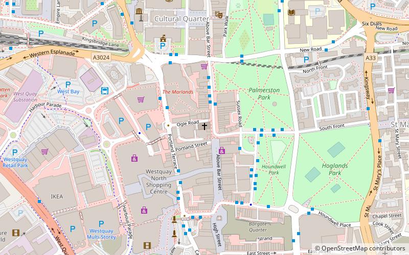
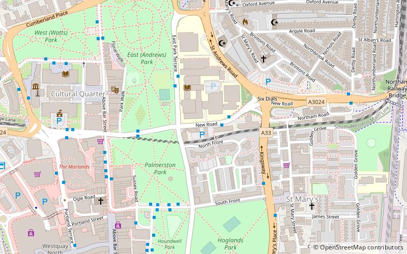
Map
Gallery
Facts and practical information
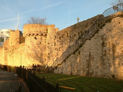
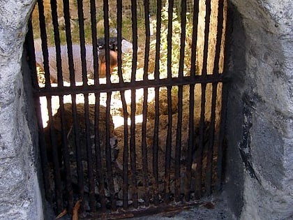
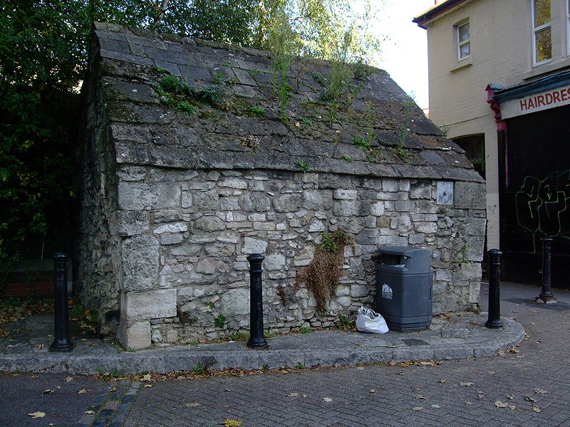
The Franciscan Friary of Southampton was founded c. 1233. It occupied a south-eastern area of the city, within the walls and adjacent to God's House Tower. The friary was notable for its water supply system, which supplied water for use by the friars themselves and by the other inhabitants of Southampton. The friary was dissolved in 1538 and the last remains were swept away in the 1940s. The site is now occupied by Friary House. Elsewhere, remnants of the extensive water supply system still survive today. ()
Coordinates: 50°54'26"N, 1°24'2"W
Address
Southampton Itchen (Bargate)Southampton
ContactAdd
Social media
Add
Day trips
Franciscan Friary – popular in the area (distance from the attraction)
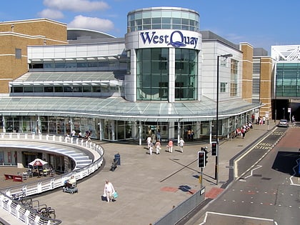
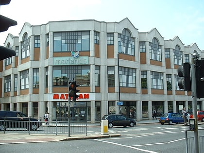
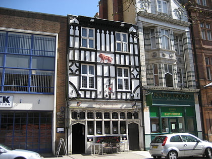
Nearby attractions include: Westquay, The Marlands, St Mary's Stadium, Red Lion Inn.
Frequently Asked Questions (FAQ)
Which popular attractions are close to Franciscan Friary?
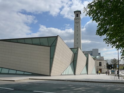
Nearby attractions include Southampton Guildhall, Southampton (6 min walk), Solent Showcase, Southampton (6 min walk), Above Bar Church, Southampton (6 min walk), The Joiners, Southampton (7 min walk).
How to get to Franciscan Friary by public transport?
The nearest stations to Franciscan Friary:
Bus
Train
Ferry
Bus
- Pound Tree Road • Lines: 1 (5 min walk)
- Civic Centre • Lines: U1A (7 min walk)
Train
- Southampton Central (16 min walk)
- Woolston (30 min walk)
Ferry
- Red Jet (24 min walk)

