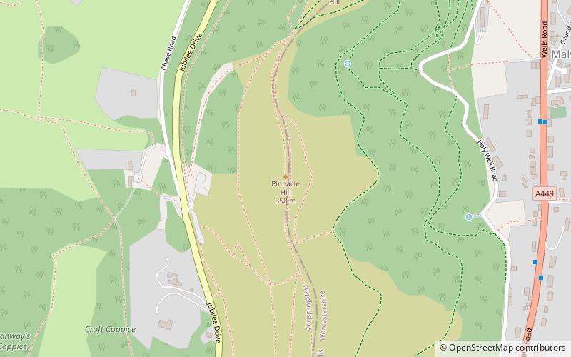
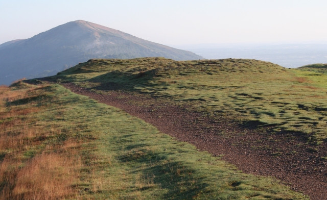
Pinnacle Hill

Gallery (2)
Map
Map
Gallery
Facts and practical information
Pinnacle Hill is situated in the range of Malvern Hills in England, running about 13 kilometres north-south along the Herefordshire-Worcestershire border. It lies between Jubilee Hill and Black Hill and has an elevation of 357 metres. It is the site of two possible Bronze Age round barrows. ()
Elevation: 1175 ftCoordinates: 52°4'36"N, 2°20'24"W
Day trips


