Tinkers Hill

Gallery (1)
Map
Map
Facts and practical information
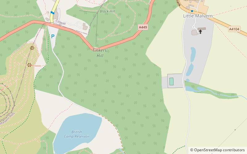
Tinkers Hill is situated in the range of Malvern Hills that runs about 13 kilometres north-south along the Herefordshire-Worcestershire border. It lies to the east of Herefordshire Beacon with views across the Vale of Evesham and the Cotswolds. It has an elevation of 213 metres. ()
Elevation: 699 ftCoordinates: 52°3'33"N, 2°20'31"W
Location
England
ContactAdd
Social media
Add
Day trips


