Cole Green Way
Map

Map

Facts and practical information
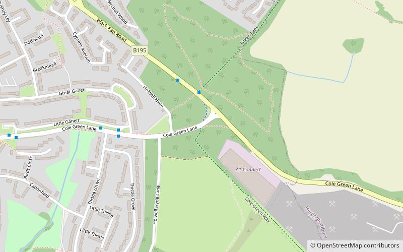
The Cole Green Way is a rail trail which runs east-west from the eastern edge of Welwyn Garden City to Hertford in Hertfordshire. Part of National Cycle Network Route 61, and the Lea Valley Walk, it runs for more than six miles along the former Hertford, Luton & Dunstable branch line from Welwyn Garden City railway station to Hertford North railway station. ()
Length: 6 miCoordinates: 51°47'27"N, 0°10'5"W
Location
England
ContactAdd
Social media
Add
Day trips
Cole Green Way – popular in the area (distance from the attraction)
Nearby attractions include: Hatfield House, Howard Centre, Stanborough Park, The Red Lion.


