Gasworks Bridge, Oxford
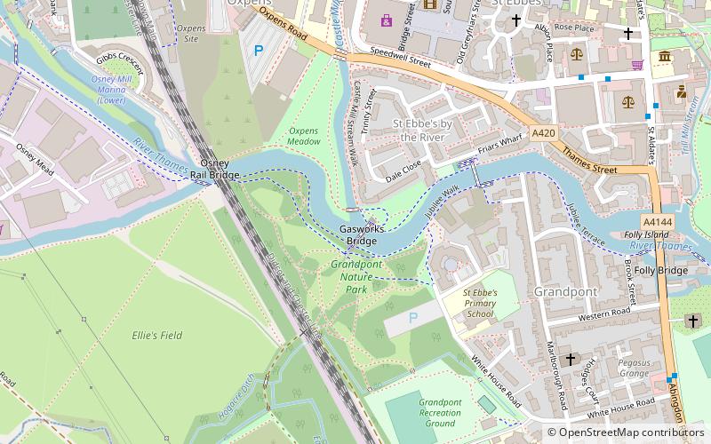
Map
Gallery
Facts and practical information
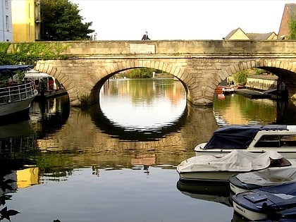
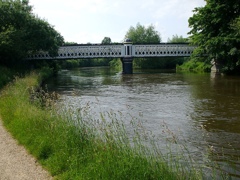
The Gasworks Bridge, also known as the Old Gasworks Bridge, is an iron bridge across the River Thames at Oxford in England. It is a pedestrian bridge linking St Ebbes to the Grandpont nature reserve. It crosses the river on the reach between Iffley Lock and Osney Lock. ()
Opened: 1886 (140 years ago)Height: 12 ftCoordinates: 51°44'47"N, 1°15'49"W
Address
Hinksey ParkOxford
ContactAdd
Social media
Add
Day trips
Gasworks Bridge – popular in the area (distance from the attraction)
Nearby attractions include: Westgate, Bate Collection of Musical Instruments, Oxford University Catholic Chaplaincy, Folly Bridge.
Frequently Asked Questions (FAQ)
Which popular attractions are close to Gasworks Bridge?
Nearby attractions include Grandpont Bridge, Oxford (4 min walk), Osney Rail Bridge, Oxford (6 min walk), Grandpont, Oxford (6 min walk), Oxpens Road, Oxford (7 min walk).
How to get to Gasworks Bridge by public transport?
The nearest stations to Gasworks Bridge:
Bus
Train
Bus
- Castle Street stop E1 • Lines: 3A (7 min walk)
- Speedwell Street • Lines: 15, 3A, 5A, Lhr, Tube, U1 (8 min walk)
Train
- Oxford (15 min walk)


