Glannau Porthaethwy, Menai Bridge

Map
Facts and practical information
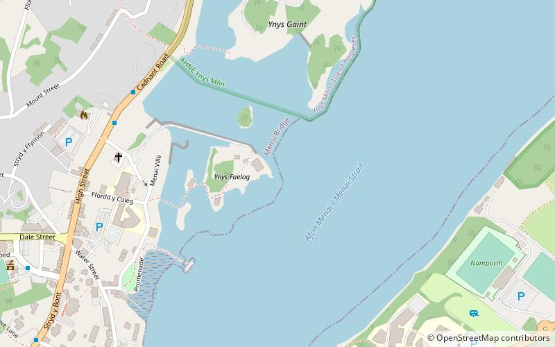
Glannau Porthaethwy is a designated Site of Special Scientific Interest along the northern shore of the Menai Strait in North Wales. It is a linear designation that extends some 4 km along the shore from Britannia Bridge in the west to Craig y Don in the east. It also includes the island shorelines of Ynys Gorad Goch, Ynys Welltog, Ynys Benlas, Ynys Tysilio, Half Tide Rock, Ynys Faelog, Ynys Tobig, Ynys Gaint, Ynys Castell and Ynys y Big. ()
Area: 167.29 acres (0.2614 mi²)Coordinates: 53°13'38"N, 4°9'23"W
Address
Menai Bridge
ContactAdd
Social media
Add
Day trips
Glannau Porthaethwy – popular in the area (distance from the attraction)
Nearby attractions include: Menai Suspension Bridge, Bangor Cathedral, Britannia Bridge, St Tysilio's Church.
Frequently Asked Questions (FAQ)
Which popular attractions are close to Glannau Porthaethwy?
Nearby attractions include Ynys Faelog, Menai Bridge (2 min walk), Ynys Gaint, Menai Bridge (6 min walk), Oriel Tegfryn, Menai Bridge (6 min walk), Ynys Castell, Menai Bridge (10 min walk).
How to get to Glannau Porthaethwy by public transport?
The nearest stations to Glannau Porthaethwy:
Bus
Train
Bus
- Ffordd Belmont • Lines: T2 (16 min walk)
- Coleg Menai • Lines: T2 (16 min walk)
Train
- Bangor (24 min walk)


