Britannia Bridge, Anglesey
Map

Gallery

Facts and practical information
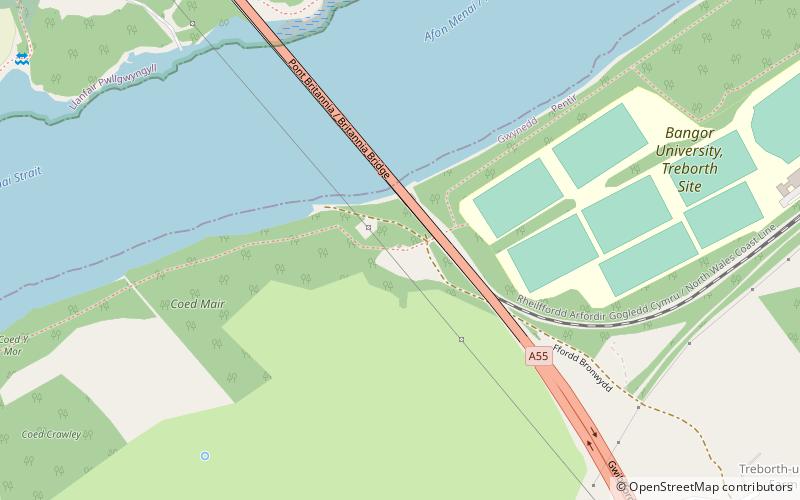
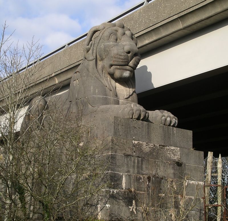
Britannia Bridge is a bridge across the Menai Strait between the island of Anglesey and the mainland of Wales. It was originally designed and built by the noted railway engineer Robert Stephenson as a tubular bridge of wrought iron rectangular box-section spans for carrying rail traffic. Its importance was to form a critical link of the Chester and Holyhead Railway's route, enabling trains to directly travel between London and the port of Holyhead, thus facilitating a sea link to Dublin, Ireland. ()
Alternative names: Opened: 1850 (176 years ago)Length: 1510 ftWidth: 52 ftHeight: 221 ftCoordinates: 53°12'51"N, 4°11'4"W
Address
Anglesey
ContactAdd
Social media
Add
Day trips
Britannia Bridge – popular in the area (distance from the attraction)
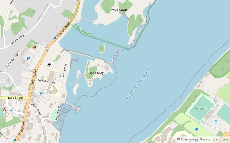
Nearby attractions include: Menai Suspension Bridge, St Mary's Church, St Tysilio's Church, Plas Newydd.
Frequently Asked Questions (FAQ)
Which popular attractions are close to Britannia Bridge?
Nearby attractions include St Mary's Church, Llanfairpwllgwyngyll (10 min walk), Treborth Botanic Garden, Menai Bridge (15 min walk), Marquess of Anglesey's Column, Llanfairpwllgwyngyll (18 min walk), St Tysilio's Church, Menai Bridge (20 min walk).
How to get to Britannia Bridge by public transport?
The nearest stations to Britannia Bridge:
Bus
Train
Bus
- Penrhos Community Centre • Lines: T2 (20 min walk)
- Goleufryn • Lines: T2 (23 min walk)
Train
- Llanfairpwll (29 min walk)


