North Meadow, Cricklade
Map

Map

Facts and practical information
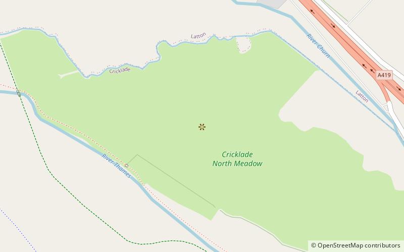
North Meadow, Cricklade is a hay meadow near the town of Cricklade, in Wiltshire, England. It is 24.6 hectares in size. It is a traditionally managed lowland hay-meadow, or lammas land, and is grazed in common between 12 August and 12 February each year, and cut for hay no earlier than 1 July. This pattern of land use and management has existed for many centuries and has resulted in the species rich grassland flora and fauna present on the site. ()
Coordinates: 51°39'2"N, 1°52'2"W
Address
Cricklade
ContactAdd
Social media
Add
Day trips
North Meadow – popular in the area (distance from the attraction)
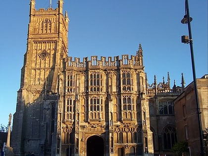
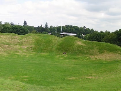
Nearby attractions include: Swindon Stadium, Church of St. John the Baptist, Church of St Sampson, Cirencester Amphitheatre.
Frequently Asked Questions (FAQ)
Which popular attractions are close to North Meadow?
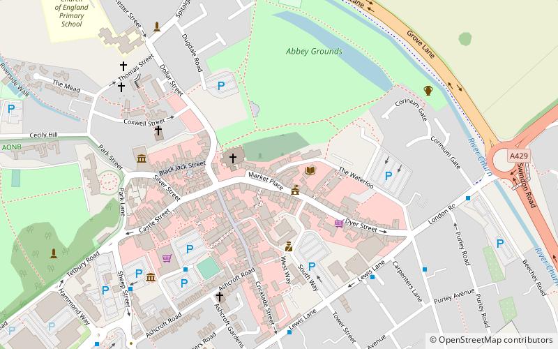
Nearby attractions include Cricklade Town Bridge, Cricklade (18 min walk), Jenner's School, Cricklade (20 min walk), Church of St Sampson, Cricklade (21 min walk).


