Vingtaine du Rouge Bouillon, Saint Helier
Map
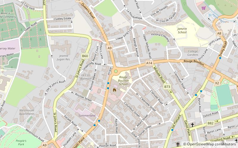
Map

Facts and practical information
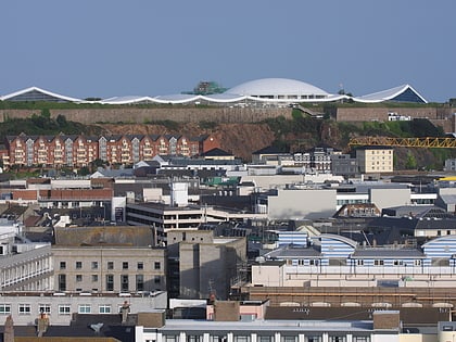
Vingtaine du Rouge Bouillon is one of the six vingtaines of St Helier in Jersey, Channel Islands. ()
Coordinates: 49°11'33"N, 2°6'30"W
Address
Saint Helier
ContactAdd
Social media
Add
Day trips
Vingtaine du Rouge Bouillon – popular in the area (distance from the attraction)
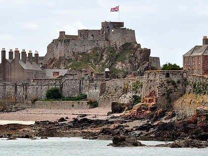
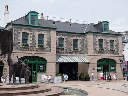
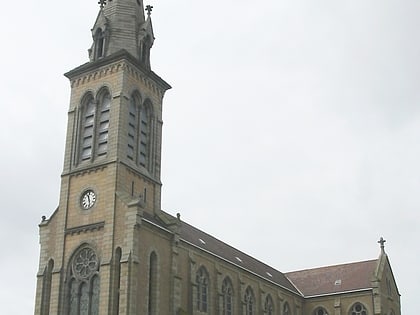
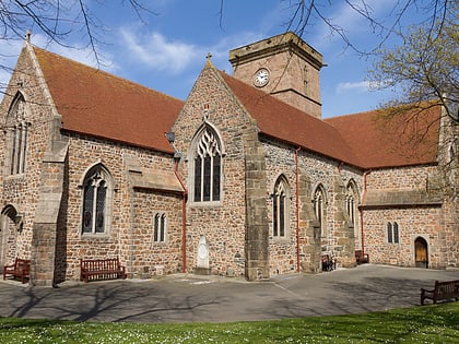
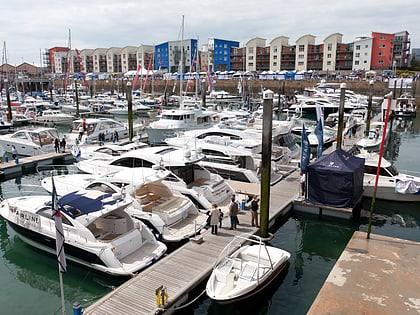
Nearby attractions include: Elizabeth Castle, Liberty Wharf, Saint Thomas Church, Parish Church of St Helier.
Frequently Asked Questions (FAQ)
Which popular attractions are close to Vingtaine du Rouge Bouillon?
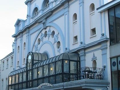
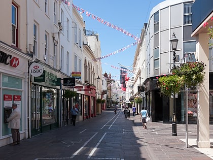
Nearby attractions include Saint Thomas Church, Saint Helier (8 min walk), Jersey Opera House, Saint Helier (12 min walk), King Street, Saint Helier (14 min walk), Highlands College, Saint Helier (16 min walk).
How to get to Vingtaine du Rouge Bouillon by public transport?
The nearest stations to Vingtaine du Rouge Bouillon:
Bus
Bus
- Convent Court • Lines: 4 (7 min walk)
- Byron Road S • Lines: 4 (7 min walk)

