Floodbrook Clough, Runcorn
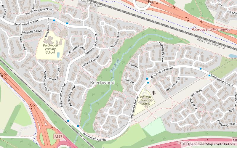
Map
Facts and practical information
Floodbrook Clough is a woodland in Cheshire, England, near Runcorn. It covers a total area of 5.35 hectares. It is owned and managed by the Woodland Trust. ()
Coordinates: 53°18'57"N, 2°42'7"W
Getting there by public transportation
Public transportation stops near this location
- Bus
 Bus
Bus
- Calculate routeWood Lane 12 min walk
- Calculate routeHalton Hospital 19 min walk
- Calculate routeClifton Road 19 min walk
Day trips


Frequently Asked Questions (FAQ)
Which popular attractions are close to Floodbrook Clough?
Nearby attractions include Rocksavage, Runcorn (13 min walk), Sutton Hall, Runcorn (24 min walk).
How to get to Floodbrook Clough by public transport?
The nearest stations to Floodbrook Clough:
Bus
Bus
- Wood Lane • Lines: 2 (12 min walk)
- Halton Hospital • Lines: 2 (19 min walk)