Hadrian's Wall Path, Hadrian's Wall
Map

Gallery

Facts and practical information
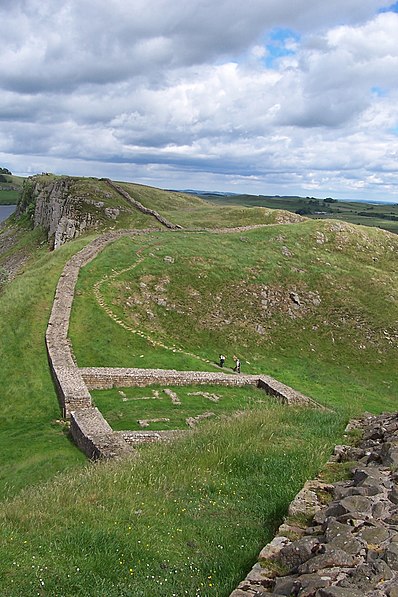
Hadrian's Wall Path is a long-distance footpath in the north of England, which became the 15th National Trail in 2003. It runs for 84 miles, from Wallsend on the east coast of England to Bowness-on-Solway on the west coast. For most of its length it is close to the remains of Hadrian's Wall, the defensive wall built by the Romans on the northern border of their empire. This is now recognised as part of the "Frontiers of the Roman Empire" World Heritage Site. ()
Address
Hadrian's Wall
ContactAdd
Social media
Add
Day trips
Hadrian's Wall Path – popular in the area (distance from the attraction)
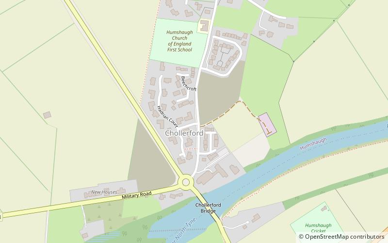
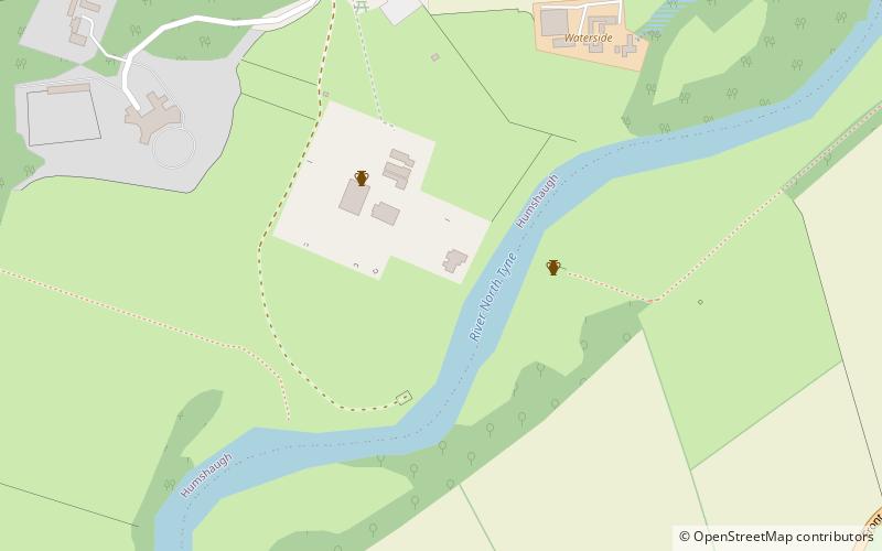
Nearby attractions include: Chesters Roman Fort and Museum, Cilurnum, Chollerford Bridge, Milecastle 26.
Frequently Asked Questions (FAQ)
Which popular attractions are close to Hadrian's Wall Path?
Nearby attractions include Chollerford Bridge, Hadrian's Wall (5 min walk), Chesters Roman Fort and Museum, Hexham (14 min walk), Milecastle 27, Hadrian's Wall (15 min walk), Cilurnum, Hadrian's Wall (15 min walk).


