Milecastle 26, Hadrian's Wall
Map

Gallery

Facts and practical information
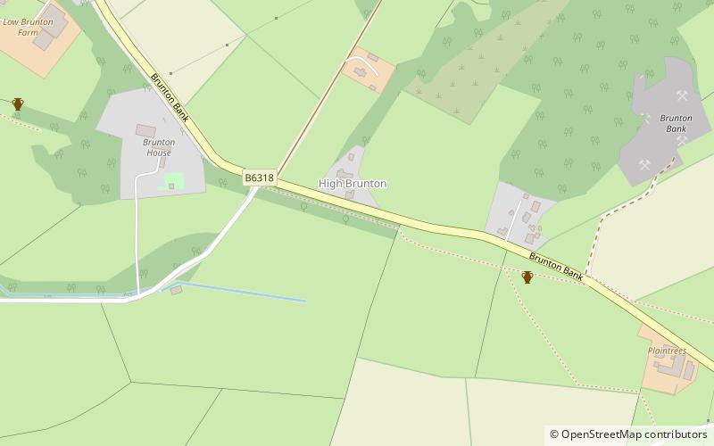
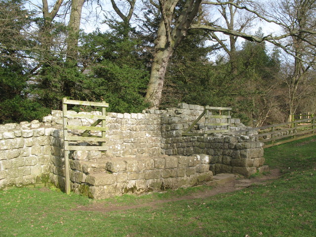
Milecastle 26 was a milecastle of the Roman Hadrian's Wall. Its position is slightly to the south of, but mostly covered by the B6318 Military Road. and it is located around 700 metres east of the B6318 Military Road's junction with the A6079. No visible traces exist currently. The dimensions are the same as Milecastles 23, 24, and 25. ()
Coordinates: 55°1'18"N, 2°7'0"W
Address
Hadrian's Wall
ContactAdd
Social media
Add
Day trips
Milecastle 26 – popular in the area (distance from the attraction)
Nearby attractions include: Chesters Roman Fort and Museum, Cilurnum, Hadrian's Wall Path, Chollerford Bridge.
Frequently Asked Questions (FAQ)
Which popular attractions are close to Milecastle 26?
Nearby attractions include Planetrees, Hadrian's Wall (5 min walk), Chollerford Bridge, Hadrian's Wall (17 min walk), Hadrian's Wall Path, Hadrian's Wall (21 min walk), Chesters Bridge, Hadrian's Wall (23 min walk).


