Bills Wood, Solihull
Map

Map

Facts and practical information
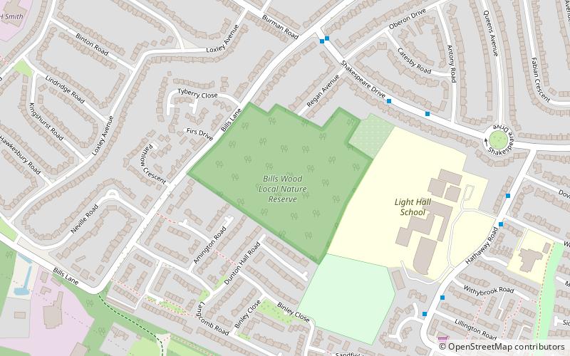
Bills Wood is a local nature reserve and park located in Shirley, Solihull. It covers an area of approximately 6.6 hectares and consists of a square parcel of woodland surrounded by residential suburbs. To the east the wood is bounded by the school playing fields of Light Hall School. A wide range of plants and animals makes the wood an important urban space, and was therefore granted local nature reserve status in 1991. ()
Elevation: 512 ft a.s.l.Coordinates: 52°24'3"N, 1°50'6"W
Day trips
Bills Wood – popular in the area (distance from the attraction)
Nearby attractions include: St James the Great, Shirley Baptist Church, Palmers Rough, Berry Mound.
Frequently Asked Questions (FAQ)
How to get to Bills Wood by public transport?
The nearest stations to Bills Wood:
Train
Train
- Shirley (12 min walk)
- Whitlocks End (24 min walk)


