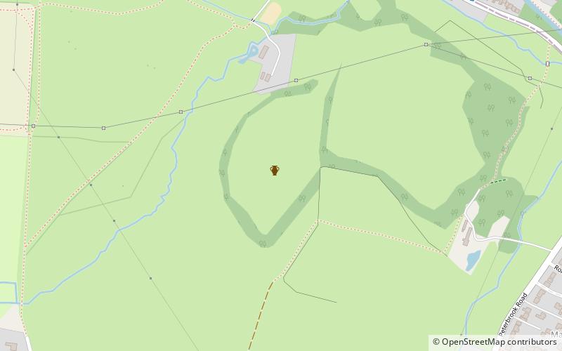
Berry Mound, Solihull
Map
Facts and practical information
Berry Mound is an Iron Age hill fort in the Bromsgrove district of Worcestershire, near Shirley, West Midlands, on the outskirts of Birmingham. It has been dated to the 1st or 2nd century BC. ()
Coordinates: 52°23'56"N, 1°51'40"W
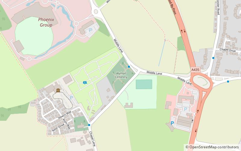
Address
Solihull
ContactAdd
Social media
Add
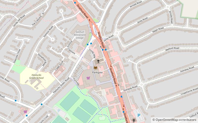
Getting there by public transportation
Public transportation stops near this location
- Bus
- Train
 Bus
Bus
- Calculate routeWhitlocks End 17 min walk
- Calculate routeShirley 20 min walk
- Calculate routeAlcester Rd South / Maypole Shops 31 min walk
Day trips


Frequently Asked Questions (FAQ)
How to get to Berry Mound by public transport?
The nearest stations to Berry Mound:
Train
Bus
Train
- Whitlocks End (17 min walk)
- Shirley (20 min walk)
Bus
- Alcester Rd South / Maypole Shops • Lines: 19 (31 min walk)