Mowsbury Hill, Bedford
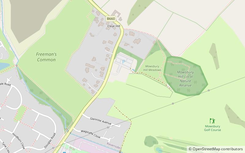
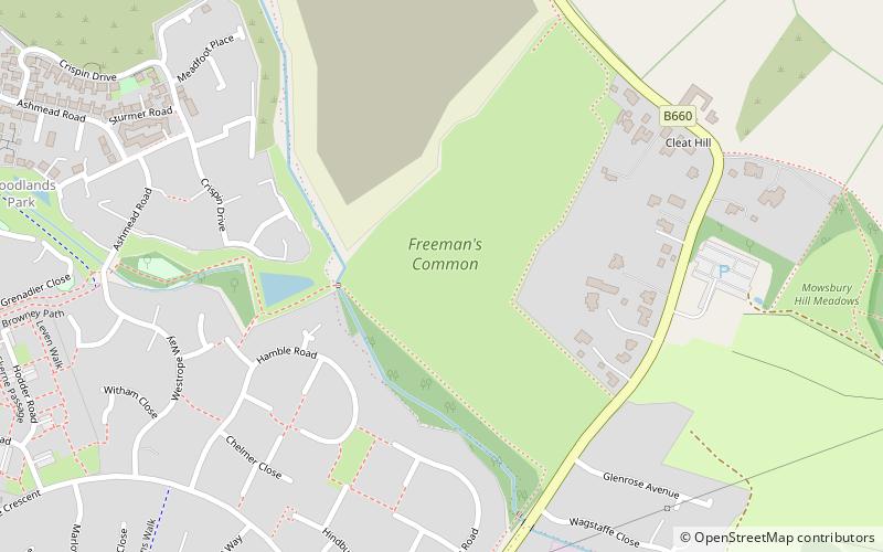
Map

Map

Facts and practical information
Mowsbury Hill is a 2.8 hectare Local Nature Reserve and Scheduled Monument in north Bedford. It is owned and managed by Bedford Borough Council with the assistance of the Friends of Putnoe Wood and Mowsbury Hillfort. ()
Elevation: 161 ft a.s.l.Coordinates: 52°10'0"N, 0°26'48"W
Day trips
Mowsbury Hill – popular in the area (distance from the attraction)
Nearby attractions include: All Saints Church, Freeman's Common, Park Wood, Putnoe Wood.
Frequently Asked Questions (FAQ)
Which popular attractions are close to Mowsbury Hill?
Nearby attractions include Freeman's Common, Bedford (6 min walk), Putnoe Wood, Bedford (10 min walk).


