Freeman's Common, Bedford

Map
Facts and practical information
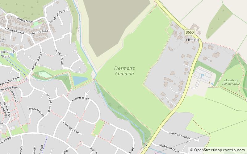
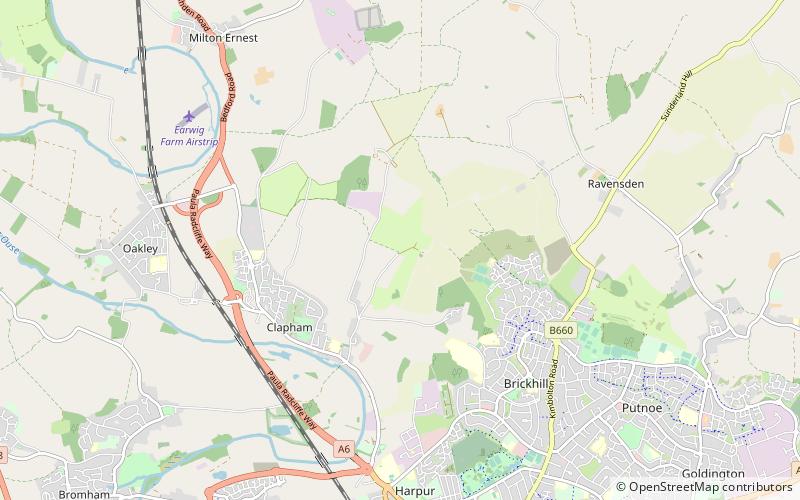
Freeman's Common is a 12.5 hectare area of land situated to the north of Bedford, in the parish of Ravensden. Over many years it has been the focus of local dispute as to whether the site should be developed. Despite the name, it is not in fact registered as common land. ()
Elevation: 141 ft a.s.l.Coordinates: 52°10'3"N, 0°27'7"W
Address
Bedford
ContactAdd
Social media
Add
Day trips
Freeman's Common – popular in the area (distance from the attraction)
Nearby attractions include: Bedford & County Golf Club, All Saints Church, Mowsbury Hill, Park Wood.
Frequently Asked Questions (FAQ)
Which popular attractions are close to Freeman's Common?
Nearby attractions include Mowsbury Hill, Bedford (6 min walk), Putnoe Wood, Bedford (15 min walk).


