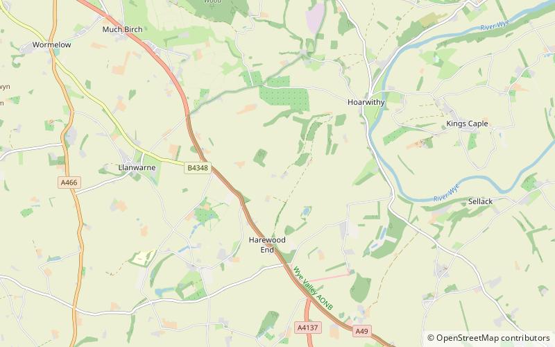
Harewood Park, Letcombe Valley
Map

Map

Facts and practical information
Harewood Park is a rural estate of 900 acres in the civil parish of Harewood in Herefordshire, England, which has been owned by the Duchy of Cornwall since 2000. It is approximately midway between Hereford and Ross-on-Wye. ()
Elevation: 276 ft a.s.l.Coordinates: 51°56'58"N, 2°41'4"W
Address
Letcombe Valley
ContactAdd
Social media
Add
Day trips
Harewood Park – popular in the area (distance from the attraction)
Nearby attractions include: Goodrich Castle, Church of St Mary and St David, Skenfrith Castle, Kerne Bridge.


