All Saints' Church, West Haddon

Gallery (1)
Map
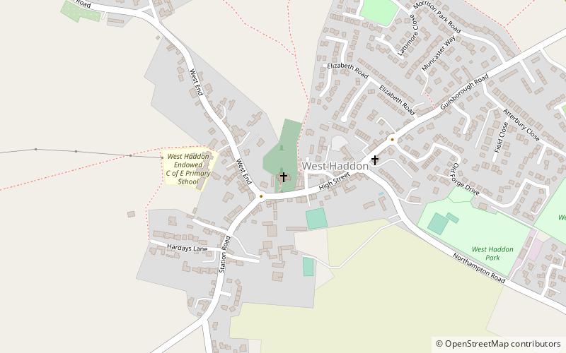
Map
Facts and practical information
All Saints' Church is an Anglican church and the parish church of West Haddon, Northamptonshire. It is a Grade I listed building and stands on the north side of the High Street. ()
Coordinates: 52°20'28"N, 1°4'35"W
Day trips