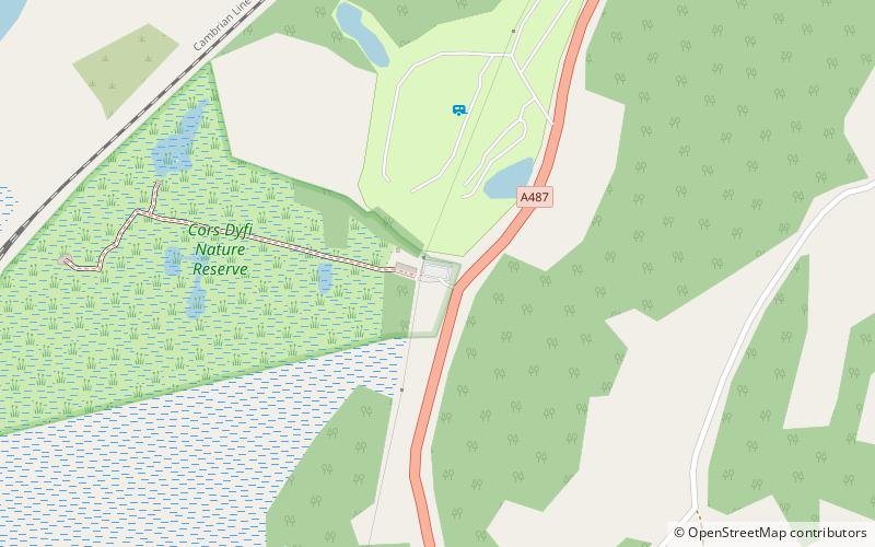
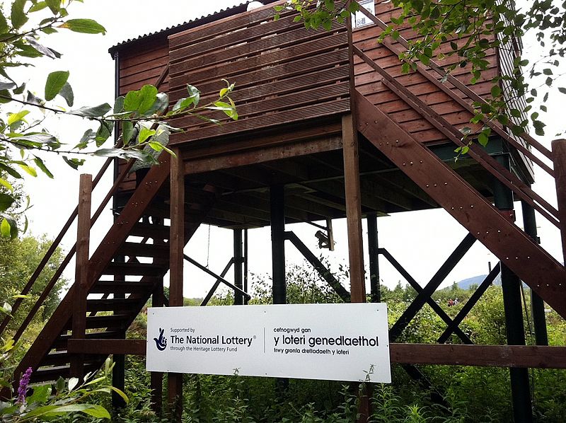
Cors Dyfi, Machynlleth

Gallery (2)
Map
Map
Gallery
Facts and practical information
The Dyfi Osprey Project is a conservation project at the Cors Dyfi nature reserve near Derwenlas, in the county of Powys, Wales, under the management of the Montgomeryshire Wildlife Trust. ()
Elevation: 26 ft a.s.l.Coordinates: 52°34'5"N, 3°54'48"W
Getting there by public transportation
Public transportation stops near this location
- Train
 Train
Train
- Calculate routeDovey Junction 13 min walk
Day trips


Frequently Asked Questions (FAQ)
How to get to Cors Dyfi by public transport?
The nearest stations to Cors Dyfi:
Train
Train
- Dovey Junction (13 min walk)