Holman's Bridge, Aylesbury
Map

Map

Facts and practical information
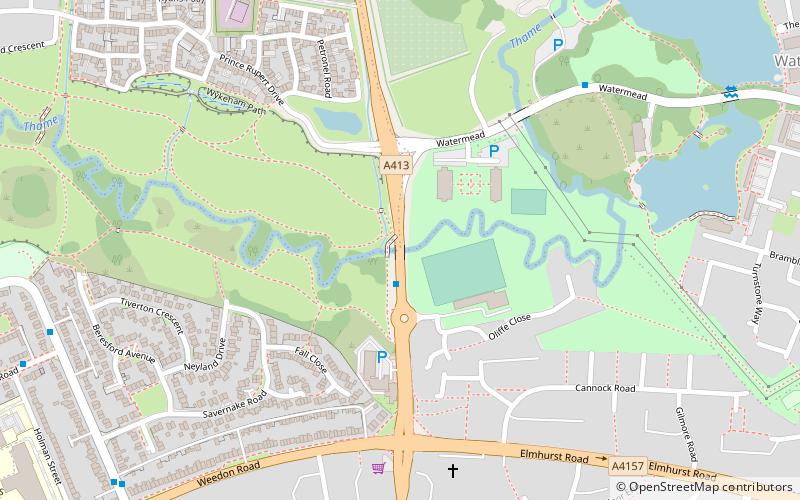
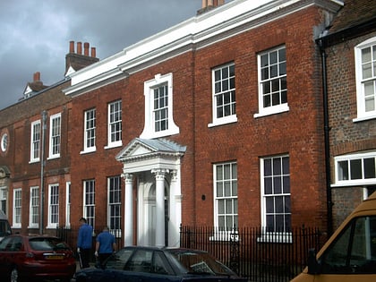
Holman's Bridge is a brick-built bridge on the A413 to the north of Aylesbury in Buckinghamshire, England. It is where the A413 road crosses the River Thame. Aylesbury's first Charter of Incorporation in 1554 marked Holman's Bridge as the northernmost boundary of the town. ()
Coordinates: 51°49'48"N, 0°48'53"W
Address
Aylesbury
ContactAdd
Social media
Add
Day trips
Holman's Bridge – popular in the area (distance from the attraction)
Nearby attractions include: Friars Square, Buckinghamshire County Museum, Aylesbury Waterside Theatre, St Mary the Virgin's Church.
Frequently Asked Questions (FAQ)
Which popular attractions are close to Holman's Bridge?
Nearby attractions include St Mary the Virgin's Church, Aylesbury (22 min walk), Buckinghamshire County Museum, Aylesbury (23 min walk), Roald Dahl Children's Gallery, Aylesbury (23 min walk), Aylesbury Waterside Theatre, Aylesbury (24 min walk).
How to get to Holman's Bridge by public transport?
The nearest stations to Holman's Bridge:
Bus
Train
Bus
- Aylesbury Bus Station • Lines: 280, 7 (27 min walk)
- Railway Station • Lines: 7 (28 min walk)
Train
- Aylesbury (30 min walk)


