Mullaghcarn
Map

Gallery

Facts and practical information
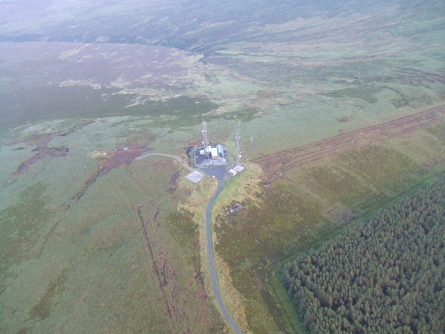
Mullaghcarn is a mountain in the southwest Sperrins, County Tyrone, Northern Ireland. The peak reaches a height of 542 m, and is the 370th highest in Ireland. Mullaghcarn is in the Fermanagh and Omagh District Council area, on the edge of Gortin Glen Forest Park, and is the most southerly peak in the Sperrins. It is 5 miles northeast of Omagh, and is 3.1 miles south of Gortin. ()
Elevation: 1778 ftCoordinates: 54°40'0"N, 7°12'0"W
Location
Northern Ireland
ContactAdd
Social media
Add
Day trips
Mullaghcarn – popular in the area (distance from the attraction)
Nearby attractions include: Ulster American Folk Park, Strule Arts Centre, Sacred Heart Church, Omagh Academy.


