Itchen Bridge, Southampton
Map
Gallery
Facts and practical information
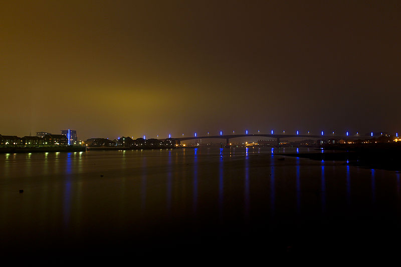
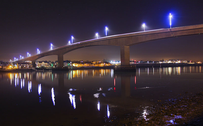
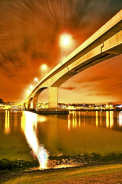
The Itchen Bridge is a bridge over the River Itchen in Southampton, Hampshire. It is a high-level hollow box girder bridge. It is located about a mile from the river mouth. The bridge spans 870 yards, is 92 feet at its highest point and weighs 62,000 tons. The bridge connects the A3025 Portsmouth Road to Southampton. It was built to replace the former chain ferry, known as the Floating Bridge, that crossed the river at that point. The bridge's set of blue energy-saving lights can be seen from up to 5 miles down Southampton Water from the bridge. ()
Opened: 13 July 1977 (48 years ago)Length: 2625 ftHeight: 92 ftCoordinates: 50°53'56"N, 1°23'6"W
Day trips
Itchen Bridge – popular in the area (distance from the attraction)
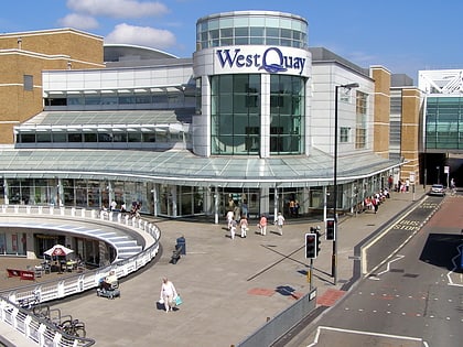
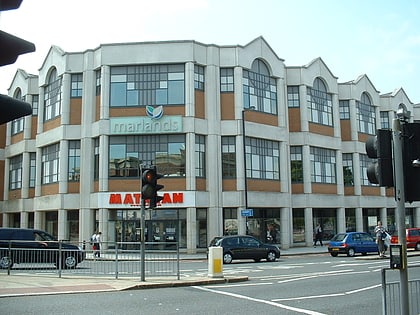
Nearby attractions include: Westquay, Ocean Village, The Marlands, St Mary's Stadium.
Frequently Asked Questions (FAQ)
Which popular attractions are close to Itchen Bridge?
Nearby attractions include Centenary Quay, Southampton (9 min walk), Ocean Village, Southampton (9 min walk), Solent Sky, Southampton (10 min walk), Peartree Green, Southampton (13 min walk).
How to get to Itchen Bridge by public transport?
The nearest stations to Itchen Bridge:
Train
Bus
Ferry
Train
- Woolston (10 min walk)
- Sholing (24 min walk)
Bus
- Holyrood Church • Lines: Qc (21 min walk)
- Telephone House • Lines: Qc (22 min walk)
Ferry
- Red Jet (24 min walk)


