Dylife Gorge
#4730 among destinations in the United Kingdom

Facts and practical information
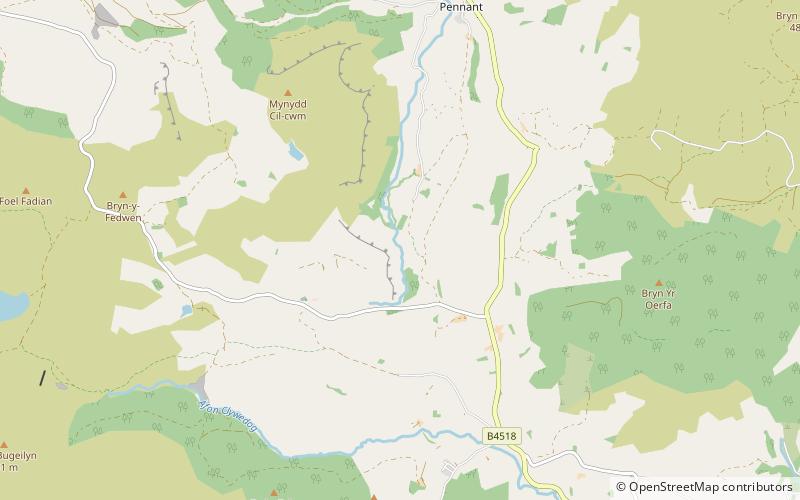
The Dylife Gorge, located near Dylife, Powys, Mid Wales, was carved by the action of the last Ice age. It is headed by the Ffrwd Fawr Waterfall. ()
WalesUnited Kingdom
Dylife Gorge – popular in the area (distance from the attraction)
Nearby attractions include: Bryntail lead mine, Clywedog Reservoir, Plynlimon, Ffrwd Fawr Waterfall.
 Archaeological site
Bryntail lead mine, Llanidloes
139 min walk • Bryntail lead mine is a disused lead mine near Llanidloes in Powys, Wales. Sited on the Afon Clywedog and in the shadow on the Clywedog reservoir damn, it is in the care of Cadw. There were three main shafts, Murray's, Gundry's and Western shaft.
 Nature, Natural attraction, Lake
Clywedog Reservoir
106 min walk • The Clywedog Reservoir is a reservoir near Llanidloes, Wales on the head-waters of the River Severn. The construction of the reservoir was enabled by an Act of Parliament which asserted that "At certain times the flow of water in the river is inadequate.. unless that flow were...
 Nature, Natural attraction, Mountain
Plynlimon
179 min walk • Pumlumon is the highest point of the Cambrian Mountains in Wales, and the highest point in Mid Wales. It is a massif that dominates the surrounding countryside and is the highest point of Ceredigion.
 Nature, Natural attraction, Waterfall
Ffrwd Fawr Waterfall, Llanidloes
7 min walk • Ffrwd Fawr is a waterfall in Powys, Wales.
 Nature, Natural attraction, Forest
Hafren Forest
108 min walk • Hafren Forest lies north-west of Llanidloes, an ancient market town in Mid Wales.
 Nature, Natural attraction, Mountain
Banc Bugeilyn
82 min walk • Banc Bugeilyn is a hill found in Plynlimon between Aberystwyth and Welshpool in the United Kingdom; grid reference SN826925. The summit is class as a Dewey. The height of the summit from sea level is 551 m.
 Forts and castles
Domen Fawr
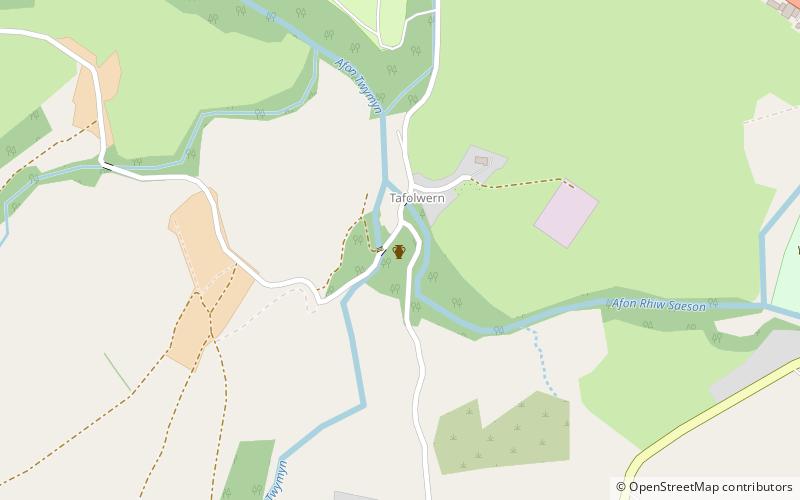
131 min walk • Domen Fawr, or Tafolwern Castle was a motte-and-bailey castle of the Middle Ages. It is situated in Tafolwern, near Llanbrynmair in Powys. It is registered with Cadw as monument MG065 and is a scheduled monument. The motte is 6 metres high and 40 metres wide at the base.
 Nature, Natural attraction, Mountain
Pen Pumlumon Arwystli
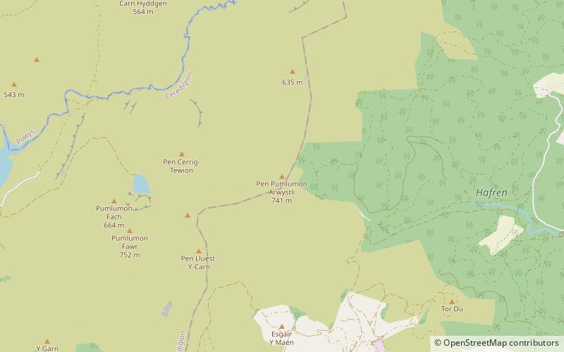
142 min walk • Pen Pumlumon Arwystli is the second highest summit on the Plynlimon massif, a part of the Cambrian Mountains in the county of Ceredigion, Wales. The summit is grassy, and is marked by 3 large ancient cairns.
 Nature, Natural attraction, Mountain
Pumlumon Fach
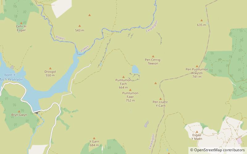
177 min walk • Pumlumon Fach is a top of Pen Pumlumon Fawr on the Plynlimon massif, a part of the Cambrian Mountains in the county of Ceredigion, Wales. It lies on small ridge heading north-west from the summit of Pen Pumlumon Fawr.
 Nature, Natural attraction, Mountain
Pumlumon Cwmbiga
104 min walk • Pumlumon Cwmbiga is a summit of the Pumlumon mountain range in Ceredigion, Wales. It is 620 metres feet above sea level and is a deleted Nuttall, only just missing out on the criteria. The nearby summit of Carnfachbugeilyn is slightly higher at 622 metres.
 Nature, Natural attraction, Mountain
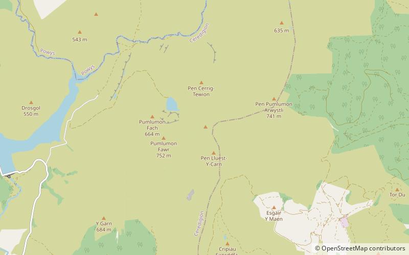
Pen Pumlumon Llygad-bychan
166 min walk • Pen Pumlumon Llygad-bychan is a subsidiary summit of Pen Pumlumon Fawr and the third highest summit on the Plynlimon massif, a part of the Cambrian Mountains in the county of Ceredigion, Wales. It is not named on Ordnance Survey walking maps. The summit is boggy, and is marked by a few stones.
