Pumlumon Cwmbiga
#6410 among destinations in the United Kingdom
Facts and practical information
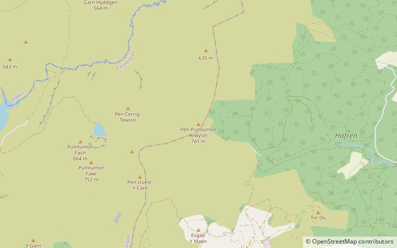
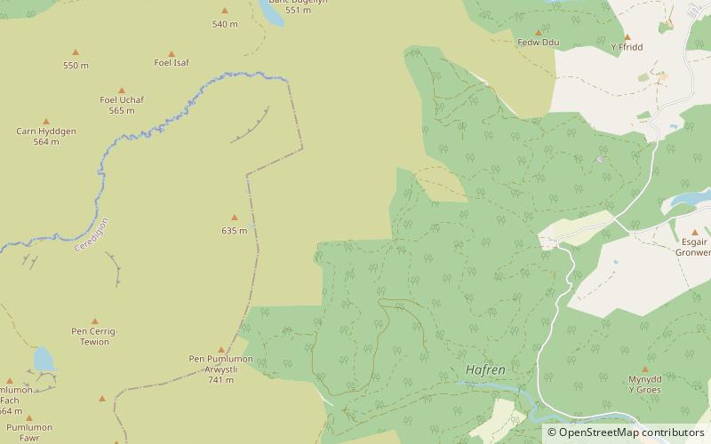
Pumlumon Cwmbiga is a summit of the Pumlumon mountain range in Ceredigion, Wales. It is 620 metres feet above sea level and is a deleted Nuttall, only just missing out on the criteria. The nearby summit of Carnfachbugeilyn is slightly higher at 622 metres. ()
WalesUnited Kingdom
Pumlumon Cwmbiga plan & book
Unleash the traveler in you — discover the cheapest flight deals, find the perfect hotel or hostel nearby, and search for the best car rental prices. Travel at your own pace to discover new places and enjoy your journey.
Pumlumon Cwmbiga – popular in the area (distance from the attraction)
Nearby attractions include: Bryntail lead mine, Clywedog Reservoir, Plynlimon, Ffrwd Fawr Waterfall.
- 5.2 miEArchaeological site
Bryntail lead mine, Llanidloes
134 min walk • Bryntail lead mine is a disused lead mine near Llanidloes in Powys, Wales. Sited on the Afon Clywedog and in the shadow on the Clywedog reservoir damn, it is in the care of Cadw. There were three main shafts, Murray's, Gundry's and Western shaft.
- 4.3 miENature, Natural attraction, Lake
Clywedog Reservoir
110 min walk • The Clywedog Reservoir is a reservoir near Llanidloes, Wales on the head-waters of the River Severn. The construction of the reservoir was enabled by an Act of Parliament which asserted that "At certain times the flow of water in the river is inadequate.. unless that flow were...
- 3.1 miSWNature, Natural attraction, Mountain
Plynlimon
79 min walk • Pumlumon is the highest point of the Cambrian Mountains in Wales, and the highest point in Mid Wales. It is a massif that dominates the surrounding countryside and is the highest point of Ceredigion.
- 3.9 miNENature, Natural attraction, Waterfall
Ffrwd Fawr Waterfall, Llanidloes
100 min walk • Ffrwd Fawr is a waterfall in Powys, Wales.
- 1.4 miSENature, Natural attraction, Forest
Hafren Forest
37 min walk • Hafren Forest lies north-west of Llanidloes, an ancient market town in Mid Wales.
- 5.2 miWNature, Natural attraction, Lake
Nant-y-moch Reservoir
134 min walk • Nant-y-moch Reservoir Welsh pronunciation is situated in the Cambrian Mountains in northern Ceredigion, Wales, near Pumlumon. The reservoir which flooded a part of the valley of the River Rheidol and its headwaters derives its name from a stream, the Nant-y-moch, which formerly flowed into the River Rheidol at this spot.
- 4.4 miSWNature, Natural attraction, Mountain
Y Garn
113 min walk • Y Garn is a subsidiary summit of Pen Pumlumon Fawr and the fourth highest peak on the Plynlimon massif, a part of the Cambrian Mountains in the county of Ceredigion, Wales.
- 4.1 miNENature, Natural attraction, Canyon
Dylife Gorge
104 min walk • The Dylife Gorge, located near Dylife, Powys, Mid Wales, was carved by the action of the last Ice age. It is headed by the Ffrwd Fawr Waterfall. Before the last Ice age, the River Twymyn did not flow through the valley. When the valley was filled by a glacier, the ice ground out a U-shaped glaciated valley.
- 1.9 miNNature, Natural attraction, Mountain
Banc Bugeilyn
50 min walk • Banc Bugeilyn is a hill found in Plynlimon between Aberystwyth and Welshpool in the United Kingdom; grid reference SN826925. The summit is class as a Dewey. The height of the summit from sea level is 551 m.
- 5.7 miNWNature, Natural attraction, Waterfall
Pistyll y Llyn, Machynlleth
147 min walk • Pistyll y Llyn is one of the tallest waterfalls in Wales and the United Kingdom. It is a horsetail style set of falls which are located in the Cambrian Mountains about 2+1⁄2 miles from Glaspwll in Powys, Wales.
- 1.5 miSWNature, Natural attraction, Mountain
Pen Pumlumon Arwystli
39 min walk • Pen Pumlumon Arwystli is the second highest summit on the Plynlimon massif, a part of the Cambrian Mountains in the county of Ceredigion, Wales. The summit is grassy, and is marked by 3 large ancient cairns.