Jesmond Dene, Newcastle upon Tyne
Map

Map

Facts and practical information
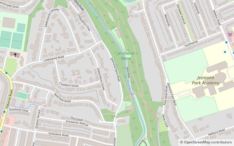
Jesmond Dene, a public park in the east end of Newcastle upon Tyne, England, occupies the narrow steep-sided valley of a small river known as the Ouseburn, flowing south to join the River Tyne: in north-east England, such valleys are commonly known as denes: the name 'Jesmond' meaning 'mouth of the Ouseburn'. ()
Elevation: 148 ft a.s.l.Coordinates: 54°59'39"N, 1°35'43"W
Address
North JesmondNewcastle upon Tyne
ContactAdd
Social media
Add
Day trips
Jesmond Dene – popular in the area (distance from the attraction)
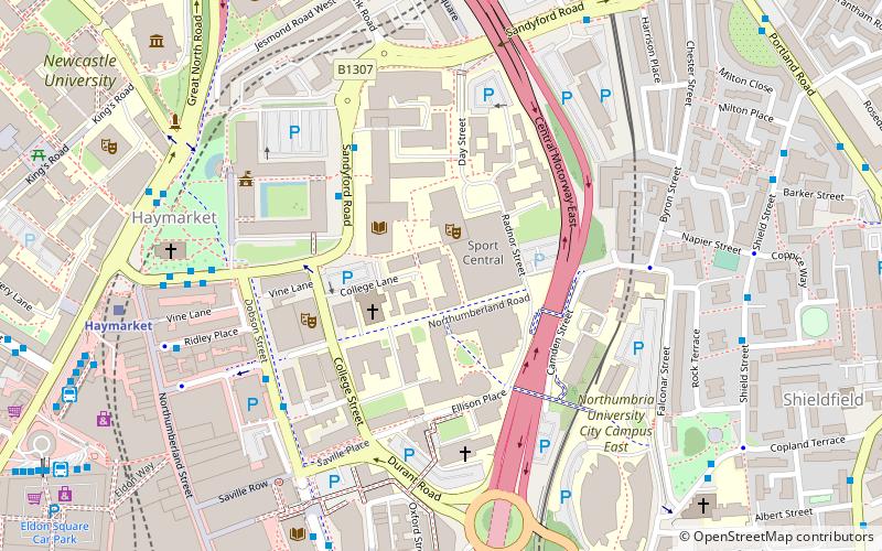
Nearby attractions include: Great North Museum: Hancock, Great North Museum, Church of St Thomas the Martyr, People's Theatre.
Frequently Asked Questions (FAQ)
Which popular attractions are close to Jesmond Dene?
Nearby attractions include High Heaton, Newcastle upon Tyne (12 min walk), Cradlewell, Newcastle upon Tyne (13 min walk), People's Theatre, Newcastle upon Tyne (13 min walk), Holy Name parish, Newcastle upon Tyne (16 min walk).
How to get to Jesmond Dene by public transport?
The nearest stations to Jesmond Dene:
Bus
Light rail
Bus
- Freeman Road-Hambledon Gardens-N/B • Lines: 18 (7 min walk)
- Newton Road • Lines: 18 (8 min walk)
Light rail
- West Jesmond • Lines: Green, Yellow (15 min walk)
- Ilford Road • Lines: Green, Yellow (19 min walk)


