Gosforth Central Park, Newcastle upon Tyne
Map
Map

Facts and practical information
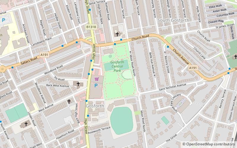
Gosforth Central Park is a small public park in Gosforth, north of Newcastle City Centre, Tyne and Wear, England. ()
Opened: 6 August 1932 (93 years ago)Created: 1932Elevation: 210 ft a.s.l.Coordinates: 55°0'21"N, 1°37'5"W
Address
St Nicholas AveEast GosforthNewcastle upon Tyne
ContactAdd
Social media
Add
Day trips
Gosforth Central Park – popular in the area (distance from the attraction)
Nearby attractions include: Jesmond Dene, Gosforth Golf Club, North Gosforth, Jubilee Theatre.
Frequently Asked Questions (FAQ)
Which popular attractions are close to Gosforth Central Park?
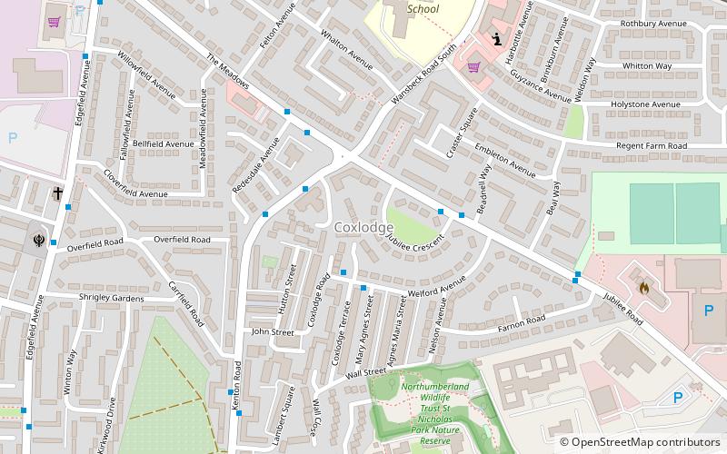
Nearby attractions include North Gosforth, Newcastle upon Tyne (12 min walk), Jubilee Theatre, Newcastle upon Tyne (18 min walk), Holy Name parish, Newcastle upon Tyne (18 min walk), Coxlodge, Newcastle upon Tyne (22 min walk).
How to get to Gosforth Central Park by public transport?
The nearest stations to Gosforth Central Park:
Bus
Light rail
Bus
- Gosforth High Street • Lines: 33, 54 (2 min walk)
- High Street-Rosewood Terrace-S/B • Lines: 33, 54 (4 min walk)
Light rail
- South Gosforth • Lines: Green, Yellow (10 min walk)
- Regent Centre • Lines: Green (12 min walk)


