High Stile

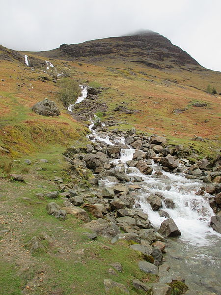
Gallery (2)
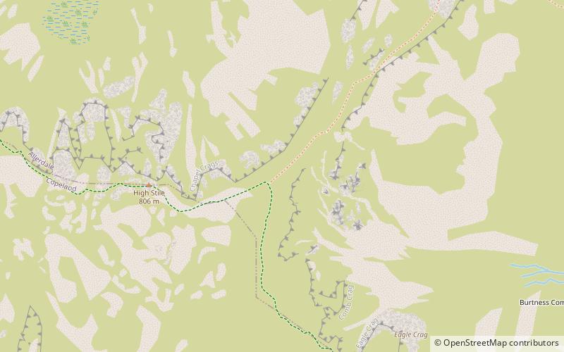
Map
Map
Gallery
Facts and practical information
High Stile is a mountain in the western part of the Lake District in North West England. It is the eleventh-highest English Marilyn, standing 807 metres high, and has a relative height of 362 metres. ()
Elevation: 2648 ftProminence: 1188 ftCoordinates: 54°31'18"N, 3°17'2"W
Location
England
ContactAdd
Social media
Add
Day trips


