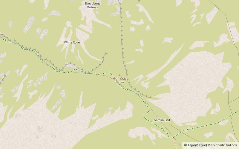
High Crag
Map

Map

Facts and practical information
High Crag stands at the southern end of the High Stile ridge which divides the valleys of Ennerdale and Buttermere in the west of the English Lake District. It is often climbed as part of a popular ridge walk, from Black Sail youth hostel, or from Buttermere via Scarth Gap. Panoramas of the Great Gable and the Scafells are visible. ()
Elevation: 2441 ftProminence: 95 ftCoordinates: 54°30'54"N, 3°16'3"W
Location
England
ContactAdd
Social media
Add
Day trips
High Crag – popular in the area (distance from the attraction)
Nearby attractions include: Buttermere, Innominate Tarn, Haystacks, Bleaberry Tarn.


