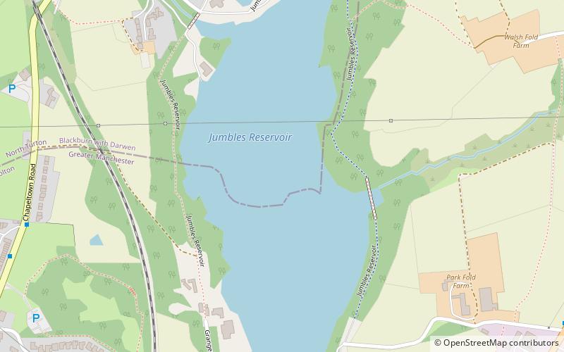
Jumbles Reservoir
Map

Map

Facts and practical information
The Jumbles Reservoir is a heavily modified, high alkalinity, shallow reservoir in North West England. It lies in Jumbles Country Park, in the valley of Bradshaw Brook, partly in the Metropolitan Borough of Bolton, Greater Manchester, and partly in Blackburn with Darwen, Lancashire. It was opened on 11 March 1971 by Queen Elizabeth II for the then Bolton Corporation Waterworks. The reservoir's original purpose was to guarantee water for the Croal-Irwell river system and the associated industries. ()
Elevation: 446 ft a.s.l.Coordinates: 53°37'30"N, 2°24'9"W
Location
England
ContactAdd
Social media
Add
Day trips
Jumbles Reservoir – popular in the area (distance from the attraction)
Nearby attractions include: Turton Tower, Jumbles Country Park, Cheetham Close, Cox Green.


