Jumbles Country Park, Bolton
Map

Map

Facts and practical information
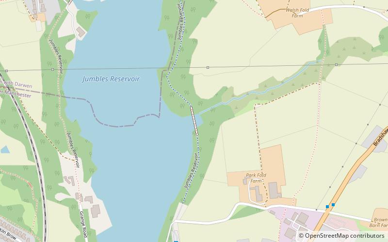
Jumbles Country Park is a country park in Bolton, Greater Manchester. It lies on the southern edge of the West Pennine Moors. It was opened on 11 March 1971 by Queen Elizabeth II. The park is now owned and managed by United Utilities. ()
Created: 1971Elevation: 459 ft a.s.l.Coordinates: 53°37'28"N, 2°23'59"W
Address
Bradshaw RoadBolton BL2 4JS
ContactAdd
Social media
Add
Day trips
Jumbles Country Park – popular in the area (distance from the attraction)
Nearby attractions include: Peel Monument, Smithills Hall, Turton Tower, Dingle Reservoir.
Frequently Asked Questions (FAQ)
How to get to Jumbles Country Park by public transport?
The nearest stations to Jumbles Country Park:
Train
Train
- Bromley Cross (22 min walk)


