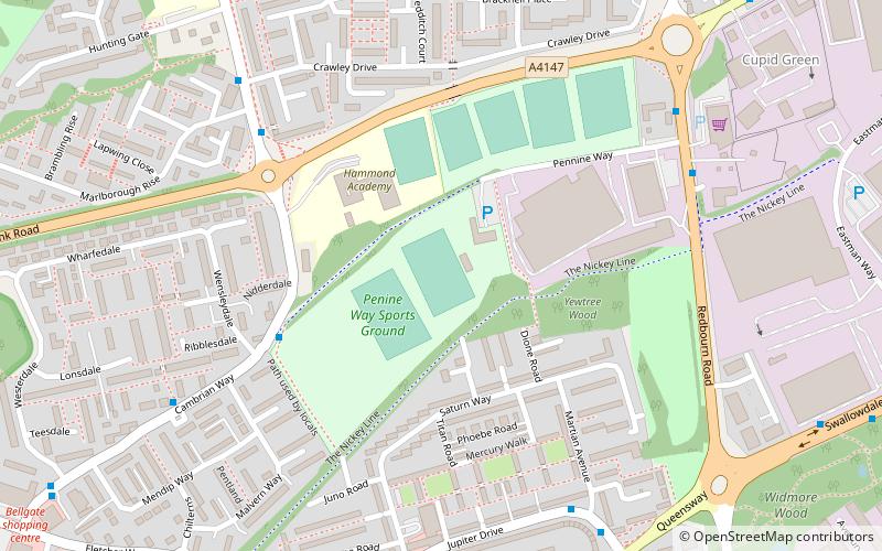
Pennine Way Stadium, Hemel Hempstead
Map
Facts and practical information
The Pennine Way Stadium is a multi-use sports facility in Hemel Hempstead, Hertfordshire. It is the home of Hemel Stags rugby league club. ()
Opened: 1981 (45 years ago)Capacity: 2000Coordinates: 51°46'5"N, 0°27'13"W
Address
Hemel Hempstead
ContactAdd
Social media
Add
Getting there by public transportation
Public transportation stops near this location
- Bus
 Bus
Bus
- Calculate routeMarlowes 36 min walk
Day trips


Frequently Asked Questions (FAQ)
How to get to Pennine Way Stadium by public transport?
The nearest stations to Pennine Way Stadium:
Bus
Bus
- Marlowes • Lines: 105 (36 min walk)