The Museum of Technology, Hemel Hempstead
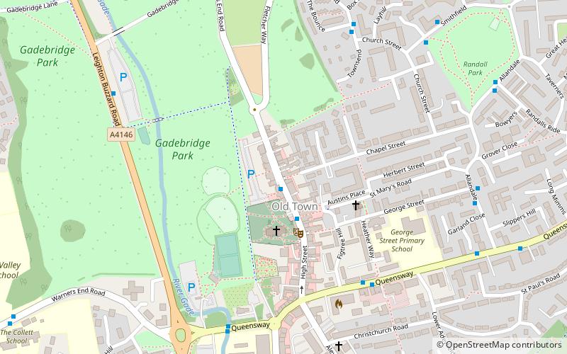
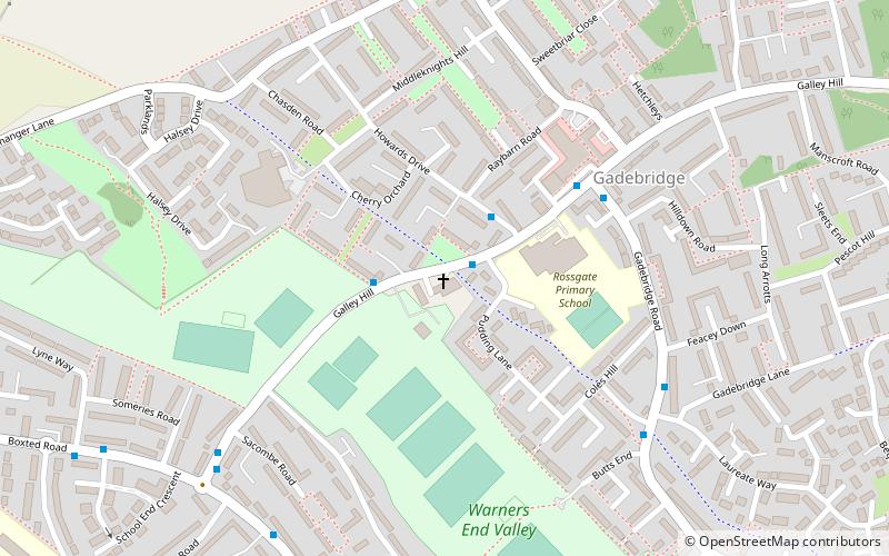
Map
Facts and practical information
The Museum of Technology, The Great War and WWII renamed The Museum of Technology the History of Gadgets and Gizmos is a technology museum in Throckenholt, a village in Lincolnshire, England, UK. The museum was originally started in the Old Town of Hemel Hempstead, Hertfordshire. After operating there for 15 years, the collection moved to a new, purpose-built centre in Throckenholt. The trustees spent four years creating the new space to house the collection. The new museum opened in August 2016. ()
Coordinates: 51°45'36"N, 0°28'21"W
Address
Hemel Hempstead
ContactAdd
Social media
Add
Getting there by public transportation
Public transportation stops near this location
- Bus
 Bus
Bus
- Calculate routeMarlowes 15 min walk
- Calculate routeWaterhouse Street 21 min walk
- Calculate routeRiverside 23 min walk
Day trips


Frequently Asked Questions (FAQ)
Which popular attractions are close to The Museum of Technology?
Nearby attractions include St Mary's Church, Hemel Hempstead (3 min walk), Charter Tower, Hemel Hempstead (4 min walk), The Bury, Hemel Hempstead (5 min walk), Gadebridge Park, Hemel Hempstead (10 min walk).
How to get to The Museum of Technology by public transport?
The nearest stations to The Museum of Technology:
Bus
Bus
- Marlowes • Lines: 105 (15 min walk)
- Waterhouse Street • Lines: 105 (21 min walk)