School of Engineering, Pontypridd
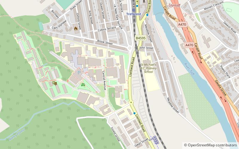
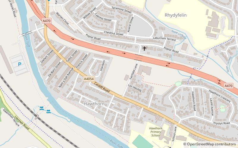
Map
Facts and practical information
The School of Engineering at the University of South Wales is one of university's largest schools, and is part of the university's Faculty of Computing, Engineering and Science. The school was originally part of the University of Glamorgan, before the university's formation in 2013. ()
Established: 2013 (13 years ago)Coordinates: 51°35'20"N, 3°19'34"W
Getting there by public transportation
Public transportation stops near this location
- Bus
- Train
 Bus
Bus
- Calculate routeTreforest 6 min walk
- Calculate routePontypridd 26 min walk
- Calculate routePontypridd Bus Station 33 min walk
Day trips


Frequently Asked Questions (FAQ)
Which popular attractions are close to School of Engineering?
Nearby attractions include St Dyfrig's Church, Pontypridd (11 min walk), St. Mary's Church, Pontypridd (14 min walk).
How to get to School of Engineering by public transport?
The nearest stations to School of Engineering:
Train
Bus
Train
- Treforest (6 min walk)
- Pontypridd (26 min walk)
Bus
- Pontypridd Bus Station (33 min walk)