St Dyfrig's Church, Pontypridd
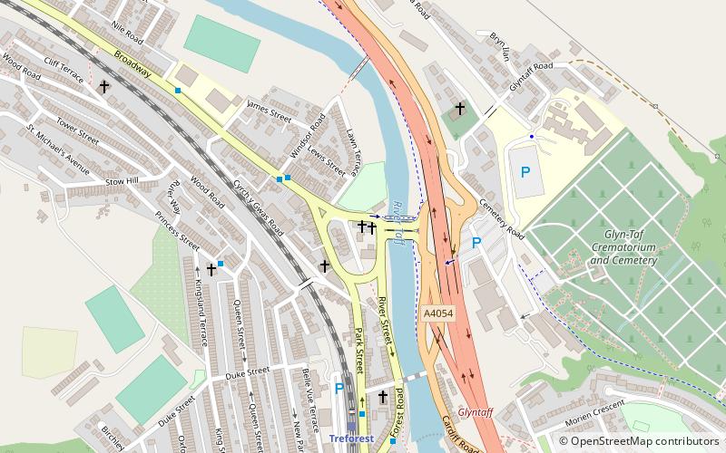
Map

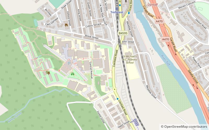
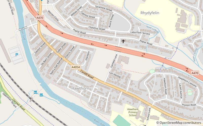
Map

Facts and practical information
St Dyfrig's Church is a listed Roman Catholic church in the village of Treforest near Pontypridd, South Wales. The church was founded in the 19th century, though the present structure dates from the 1920s. ()
Coordinates: 51°35'41"N, 3°19'29"W
Address
Pontypridd
ContactAdd
Social media
Add
Day trips
St Dyfrig's Church – popular in the area (distance from the attraction)
Nearby attractions include: Lido Ponty, Old Bridge, Ynysangharad Park, Ynysangharad War Memorial.
Frequently Asked Questions (FAQ)
Which popular attractions are close to St Dyfrig's Church?
Nearby attractions include St. Mary's Church, Pontypridd (4 min walk), School of Engineering, Pontypridd (11 min walk), Ynysangharad Park, Pontypridd (18 min walk), Ynysangharad War Memorial, Pontypridd (19 min walk).
How to get to St Dyfrig's Church by public transport?
The nearest stations to St Dyfrig's Church:
Train
Bus
Train
- Treforest (6 min walk)
- Pontypridd (21 min walk)
Bus
- Pontypridd Bus Station (25 min walk)


